Garratts Wood
| Garratts Wood | |
|---|---|
 | |
| Geography | |
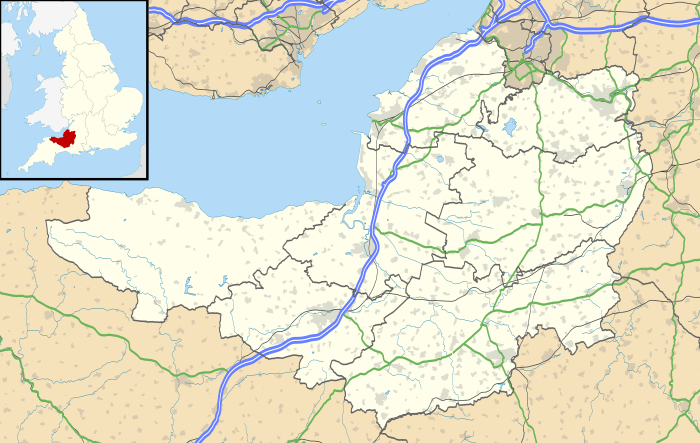
| Location | Somerset, England |
| OS grid | SS902351 |
| Coordinates | 51°06′18″N 3°34′05″W / 51.105°N 3.568°WCoordinates: 51°06′18″N 3°34′05″W / 51.105°N 3.568°W |
| Area | 1.11 hectares (2.74 acres) |
Garratts Wood is a woodland in Somerset, England, near the village of Winsford. It covers a total area of 1.11 hectares (2.74 acres). It is owned and managed by the Woodland Trust.[1]
References
- ↑ "Garratts Wood - a Woodland Trust Wood". Woodland Trust. Retrieved 2 August 2012.
This article is issued from
Wikipedia.
The text is licensed under Creative Commons - Attribution - Sharealike.
Additional terms may apply for the media files.