Garleton Hills
| Garleton Hills | |
|---|---|
 Garleton Hills and Hopetoun Monument | |
| Highest point | |
| Peak | Skid Hill |
| Elevation | 186 m (610 ft) [1] |
| Prominence | 98[2] |
| Coordinates | 55°58′42.168″N 02°47′30.12″W / 55.97838000°N 2.7917000°WCoordinates: 55°58′42.168″N 02°47′30.12″W / 55.97838000°N 2.7917000°W |
| Geography | |
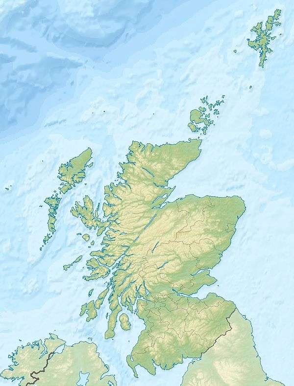 Garleton Hills Location in Scotland | |
| Location | East Lothian |
| Country | United Kingdom |
| State/Province | Scotland |
| Geology | |
| Age of rock | Carboniferous [3] |
The Garleton Hills, in East Lothian, Scotland, are a range of igneous hills, to the north of Haddington.
Geography
Although Skid Hill, the highest point of the range, is only 610 feet (190 m), the hills are conspicuous throughout the county. The western spur is crowned by the Hopetoun Monument to John, 4th Earl of Hopetoun, who commanded the British Army in the Peninsular War, after the death of Sir John Moore at Corunna. Barnes Castle is built on south, while Garleton Castle is on the north slopes. The hills are located at grid reference NT500760.
Geology
The range is formed largely from Carboniferous tuffs and trachytic lavas. The hills are a Site of Special Scientific Interest.
References
- ↑ Munro, David M. (2006). Scotland: An Encyclopedia of Places & Landscapes. Collins. p. 219. Retrieved 2018-09-04.
- ↑ "Skid Hill". Retrieved 2018-09-04.
- ↑ Craig, Gordon Younger; McLaren Donald Duff, Peter (1975). The Geology of the Lothians and south east Scotland: an excursion guide. Edinburgh Geological Society, Scottish Academic Press Ltd. p. 72. Retrieved 2018-09-04.
![]()
This article is issued from
Wikipedia.
The text is licensed under Creative Commons - Attribution - Sharealike.
Additional terms may apply for the media files.