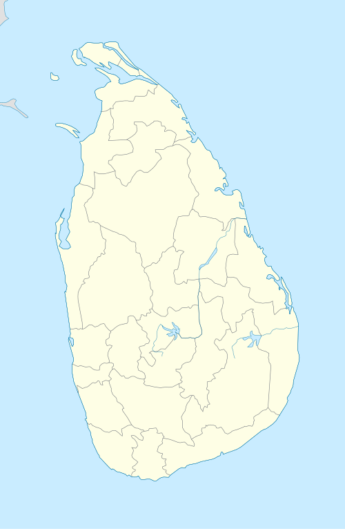
Galgamuwa
| Galgamuwa ගල්ගමුව | |
|---|---|
| Town | |
 Galgamuwa | |
| Coordinates: 8°0′0″N 80°16′59″E / 8.00000°N 80.28306°ECoordinates: 8°0′0″N 80°16′59″E / 8.00000°N 80.28306°E | |
| Country | Sri Lanka |
| District | Kurunegala |
| Area | |
| • Total | 278.4 km2 (107.5 sq mi) |
| Population | |
| • Total | 63,273 |
| Time zone | UTC+5:30 (SLST) |
| Postal code | 60700[1] |
| Area code(s) | 037 |
| Website |
www |
Galgamuwa is a town in Kurunegala District, North Western Province, Sri Lanka. It consists of 62 Grama Niladhari divisions and is situated between the Kala Oya and the Mee Oya Rivers. It borders Ambanpola, Nawagaththegama, Giribawa, Thambuththegama and Ehetuwewa.
In 2012, the town had a total population of 55,078.[2] Galgamuwa is an agricultural area, and cultivation is carried out in both Yala and Maha seasons. There are 35 schools in Galgamuwa.[3]
References
- ↑ "Galgamuwa Post Office - Sri Lanka Postal Codes - Mohanjith". Mohanjith.net. Retrieved 14 January 2018.
- ↑ http://citypopulation.info/php/srilanka-admin.php?adm2id=6106
- ↑ "Galgamuwa Divisional Secretariat - Overview". Galgamuwa.ds.gov.lk. Retrieved 14 January 2018.
This article is issued from
Wikipedia.
The text is licensed under Creative Commons - Attribution - Sharealike.
Additional terms may apply for the media files.