Galata Cove
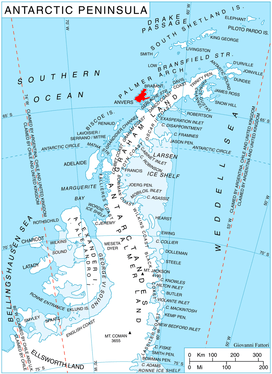
Location of Anvers Island in the Antarctic Peninsula region.
Galata Cove (Bulgarian: залив Галата, ‘Zaliv Galata’ \'za-liv 'ga-la-ta\) is the 1.93 km wide cove indenting for 2.18 km the northeast coast of Anvers Island in the Palmer Archipelago, Antarctica. It is entered south of Frolosh Point and north of Deliradev Point.
The cove is named after the Galata Point on the Bulgarian Black Sea coast.
Location
Galata Cove is centred at 64°19′00″S 63°10′50″W / 64.31667°S 63.18056°WCoordinates: 64°19′00″S 63°10′50″W / 64.31667°S 63.18056°W. British mapping in 1980.
Maps
- British Antarctic Territory. Scale 1:200000 topographic map. DOS 610 Series, Sheet W 64 62. Directorate of Overseas Surveys, UK, 1980
- Antarctic Digital Database (ADD). Scale 1:250000 topographic map of Antarctica. Scientific Committee on Antarctic Research (SCAR). Since 1993, regularly upgraded and updated.
References
- Galata Cove. SCAR Composite Antarctic Gazetteer
- Bulgarian Antarctic Gazetteer. Antarctic Place-names Commission. (details in Bulgarian, basic data in English)
This article includes information from the Antarctic Place-names Commission of Bulgaria which is used with permission.
This article is issued from
Wikipedia.
The text is licensed under Creative Commons - Attribution - Sharealike.
Additional terms may apply for the media files.