Gailey, Staffordshire
| Gailey | |
|---|---|
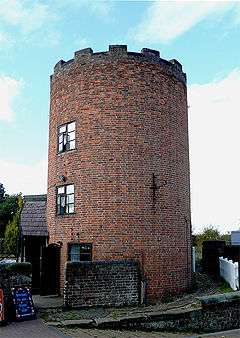 Lock keeper's tower | |
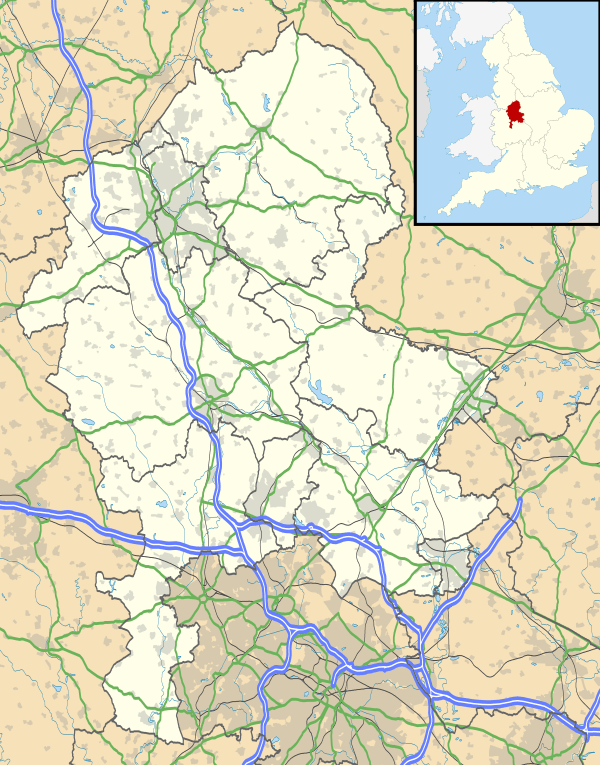 Gailey Gailey shown within Staffordshire | |
| OS grid reference | SJ912107 |
| Civil parish | |
| District | |
| Shire county | |
| Region | |
| Country | England |
| Sovereign state | United Kingdom |
| Post town | STAFFORD |
| Postcode district | ST19 |
| Dialling code | 01902 |
| Police | Staffordshire |
| Fire | Staffordshire |
| Ambulance | West Midlands |
| EU Parliament | West Midlands |
| UK Parliament | |
Gailey is a small village in Staffordshire, England. It is at the junction of the A5 and A449 roads, and is on the boundary of the parishes of Brewood and Coven (formerly Brewood) and Penkridge, in South Staffordshire.
The village was in existence at the time of the Domesday Book (1086) when it was referred to as Gragelie.[1] In the 19th century, Gailey was also known as Spread Eagle, from the name of the pub adjacent to the road junction.[2]
In 1837, the Grand Junction Railway built a railway station in the village. The Rugby-Birmingham-Stafford Line still passes through the site, although the station at Gailey closed in 1951.
See also
References
- ↑ "Gailey History". Roman-Britain.org. Archived from the original on 19 June 2009. Retrieved 2009-12-30.
- ↑ "'Penkridge: Introduction and manors', A History of the County of Stafford: Volume 5: East Cuttlestone hundred". 1959. pp. 103–126. Retrieved 2008-06-02.
| Wikimedia Commons has media related to Gailey. |
This article is issued from
Wikipedia.
The text is licensed under Creative Commons - Attribution - Sharealike.
Additional terms may apply for the media files.