Gader Valley
| Gader (Gaderská dolina) | |
| Valley | |
_-_from_Blatnica_castle_ruin.jpg) Gader Valley from the ruins of the Blatnica Castle | |
| Country | Slovakia |
|---|---|
| Region | Žilina |
| District | Martin |
| Municipality | Blatnica |
| Parts | Dedošová upper part |
| Side valleys | |
| - left | Selenec |
| River | Gaderský potok |
| Location | merger of Dedošová and Selenec Valleys |
| - coordinates | 48°56′37″N 19°00′22″E / 48.94353°N 19.00603°ECoordinates: 48°56′37″N 19°00′22″E / 48.94353°N 19.00603°E |
| Lowest point | |
| - location | merger with Blatnica Valley |
| - coordinates | 48°55′55″N 18°56′06″E / 48.93195°N 18.93493°E |
| Length | 18 km (11 mi) |
| Geology | limestone |
| Easiest access | paved road |
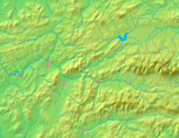
  Location of Gader in Slovakia | |
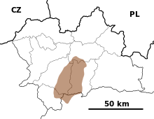
  Location of Gader Valley in the Žilina Region | |
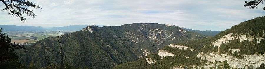
Gader Valley (Slovak: Gaderská dolina) is a long valley in the Greater Fatra Range[1] in Central Slovakia. It is accessible from the village of Blatnica. The valley is the gateway to the peaks of Tlstá and Ostrá. Its upper part, from the merger with the Selenec Valley, is named Dedošová. In Gader Valley, there are almost all of the protected species of animals and plants that occur throughout the Great Fatra: 3,000 species of invertebrates, 110 species of birds, and 60 mammalian species. The Tlstej complex was declared a National Nature Reserve in 1972.
About 2 km from the village of Blatnica are the ruins of Blatnica Castle, which dates back to the 13th century. It is located on the low limestone ridge of Plešovice (658 m above sea level), which separates the Gaderská valley from the Turčianska basin. There is a popular hiking trail from Blatnica Castle that leads through the valley.
.JPG)

References
- ↑ "Greater Fatra". Slovak-Republic.org. Retrieved 21 January 2013.