Fuerte Olimpo Airport
| Fuerte Olimpo Airport Aeropuerto de Fuerte Olimpo Tte. 1ro Inocencio Herebia | |||||||||||
|---|---|---|---|---|---|---|---|---|---|---|---|
| Summary | |||||||||||
| Airport type | Public | ||||||||||
| Serves | Fuerte Olimpo | ||||||||||
| Elevation AMSL | 280 ft / 85 m | ||||||||||
| Coordinates | 21°02′45″S 57°53′00″W / 21.04583°S 57.88333°WCoordinates: 21°02′45″S 57°53′00″W / 21.04583°S 57.88333°W | ||||||||||
| Map | |||||||||||
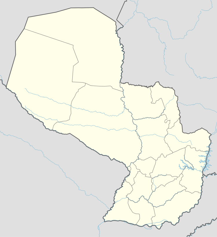 SGOL Location of the airport in Paraguay | |||||||||||
| Runways | |||||||||||
| |||||||||||
Tte. 1ro Inocencio Herebia Airport (ICAO: SGOL), or simply known as Fuerte Olimpo Airport, is an airport serving the city of Fuerte Olimpo in Alto Paraguay Department, Paraguay.
See also


- List of airports in Paraguay
- Transport in Paraguay
References
- ↑ Airport information for SGOL at Great Circle Mapper.
- ↑ Google Maps - Fuerte Olimpo
External links
- HERE Maps - Fuerte Olimpo
- OpenStreetMaps - Fuerte Olimpo
- Skyvector Aeronautical Charts - Fuerte Olimpo
This article is issued from
Wikipedia.
The text is licensed under Creative Commons - Attribution - Sharealike.
Additional terms may apply for the media files.