Foum Zguid
| Foum Zguid فم زڭيد | |
|---|---|
| Town | |
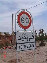 Entrance to Foum Zguid with sign in Roman and Arabic alphabets. | |
 Foum Zguid | |
| Coordinates: 30°05′07″N 6°52′25″W / 30.08528°N 6.87361°W | |
| Country |
|
| Region | Souss-Massa |
| Province | Tata Province |
| Population (2004) | |
| • Total | 9,630 |
| Time zone | UTC+0 (WET) |
| • Summer (DST) | UTC+1 (WEST) |
| Postal code | 84150 |
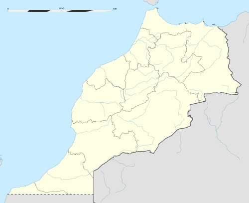
Foum Zguid (Arabic: فم زڭيد, lit. 'mouth of the Zguid river') is a town in Tata Province, Souss-Massa, southeastern Morocco. According to the 2004 census it had a population of 9,630, the second-highest in the province after the capital Tata.[1]
Foum Zguid is on the N12 highway to the northeast of Tata. Iriqui National Park is to the south of Foum Zguid, as is the border with Algeria, but no roads lead to either.
References
- ↑ Maaroufi, Youssef. "Recensement général de la population et de l'habitat 2004".
External links
![]()
Capital: Agadir | ||
| Provinces and prefectures | 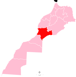 | |
| Cities | ||
This article is issued from
Wikipedia.
The text is licensed under Creative Commons - Attribution - Sharealike.
Additional terms may apply for the media files.