Fort Strother
|
Fort Strother Site | |
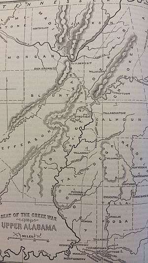 Map of Alabama during the War of 1812[1] | |
  | |
| Nearest city | Ragland, Alabama |
|---|---|
| Coordinates | 33°45′49″N 86°02′51″W / 33.76361°N 86.04750°WCoordinates: 33°45′49″N 86°02′51″W / 33.76361°N 86.04750°W |
| Area | 334 acres (135 ha) |
| Built | 1813 |
| NRHP reference # | 72001440[2] |
| Added to NRHP | July 24, 1972 |
Fort Strother was a stockade fort at Ten Islands in the Mississippi Territory, in what is today St. Clair County, Alabama. It was located on a bluff of the Coosa River, near the modern Neely Henry Dam in Ragland, Alabama.[3] The fort was built by General Andrew Jackson and several thousand militiamen in November 1813, during the Creek War. It was to serve as his base of operations against the Red Sticks.[4]
An inscribed stone marker near Highway 144, erected by the county, records a brief history of the fort.[5] The fort site was listed on the National Register of Historic Places in 1972.[2] St. Clair County acquired the property in 2012.[6]
See also
References
- ↑ Lossing, Benson (1868). The Pictorial Field-Book of the War of 1812. Harper & Brothers, Publishers. p. 778.
- 1 2 National Park Service (July 9, 2010). "National Register Information System". National Register of Historic Places. National Park Service. Retrieved April 7, 2014.
- ↑ U.S. Geological Survey Geographic Names Information System: Fort Strother (historical)
- ↑ Amber Thompson (21 December 2010). "History is future for St. Clair County". St. Clair News Aegis. Retrieved 18 January 2011.
- ↑ "Fort Strother Marker". St. Clair County, Alabama. The Historical Marker Database. Retrieved 18 January 2011.
- ↑ Vernon, EJ (June 14, 2012). "St. Clair to acquire 80 percent of Fort Strother". St. Clair News-Aegis. Retrieved April 7, 2014.
This article is issued from
Wikipedia.
The text is licensed under Creative Commons - Attribution - Sharealike.
Additional terms may apply for the media files.