Foros Spur

Foros Spur (Bulgarian: рид Форос, ‘Rid Foros’ \'rid 'fo-ros\) is the 7.5 km long and 5.7 km wide rocky ridge forming the southeast extremity of Gromshin Heights on the east side of northern Sentinel Range in Ellsworth Mountains, Antarctica. It surmounts Rutford Ice Stream to the east and lower Vicha Glacier to the west.
The feature is named after Foros Point on the Bulgarian Black Sea Coast.
Location
Foros Spur’s southernmost height of 1150 m is located at 77°45′00″S 85°21′10″W / 77.75000°S 85.35278°WCoordinates: 77°45′00″S 85°21′10″W / 77.75000°S 85.35278°W, which is 12.96 km east of Mount Warren, 9.68 km southeast of Branishte Peak, and 11.3 km northeast of Mount Lanning in Sostra Heights. US mapping in 1961.
Maps
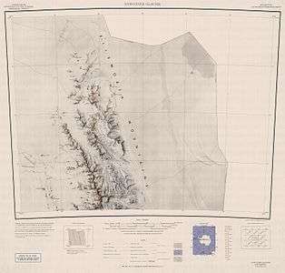
- Newcomer Glacier. Scale 1:250 000 topographic map. Reston, Virginia: US Geological Survey, 1961.
- Antarctic Digital Database (ADD). Scale 1:250000 topographic map of Antarctica. Scientific Committee on Antarctic Research (SCAR). Since 1993, regularly updated.
References
- Foros Spur. SCAR Composite Gazetteer of Antarctica.
- Bulgarian Antarctic Gazetteer. Antarctic Place-names Commission. (details in Bulgarian, basic data in English)
This article includes information from the Antarctic Place-names Commission of Bulgaria which is used with permission.