Puerto Rico Highway 191
| ||||
|---|---|---|---|---|
| Route information | ||||
| Maintained by Puerto Rico DTPW | ||||
| Major junctions | ||||
| North end |
| |||
| El Yunque National Forest | ||||
| South end |
| |||
| Highway system | ||||
| ||||

.png)

Puerto Rico Highway 191 or PR-191 is a rural road located in eastern Puerto Rico and is the main access to the El Yunque National Forest.
Route description
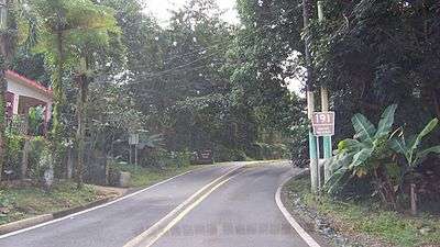
PR-191 follows a north-south path through El Yunque National Forest and the Sierra de Luquillo and is divided into two non-contiguous sections.
Northern section
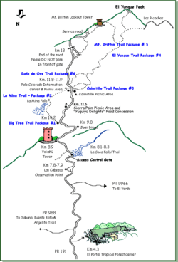
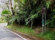
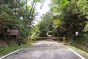
The highway begins at PR-955 in the community of Palmer in the municipality of Río Grande. From there, it climbs into El Yunque National Forest 4 km from its beginning. Inside the forest, the road is concurrent with Forest Highway 191 and many of the forest's major attractions are along the route. At 7.8 km is the Las Cabezas Observation Point and at 8.1 km is La Coca Falls where an access gate prevent traffic on PR-191 beyond that point from 6:00 PM to 7:30 AM. The route continues past the Yokahu Tower (8.8 km) and Baño Grande, Baño de Oro, and an information center (11.7-11.9 km). The road is closed to public traffic through part of the forest starting at a point 13.1 km from the beginning in Palmer and immediately past PR-191's second junction with PR-9938 (which is signed "Ramal 930") and just before a junction with Forest Route 10 and near the Mount Britton and El Yunque Peak trailhead.
Southern section
The highway continues south out of El Yunque National Forest passing the village of Florida and ending again at PR-31, near Río Blanco in the municipality of Naguabo.
Images of PR-191
See also
References
- El Yunque National Forest Brochure and Map. October 2007.