Fir of Drenovë National Park
| Fir of Drenovë National Park | |
|---|---|
|
IUCN category II (national park) | |
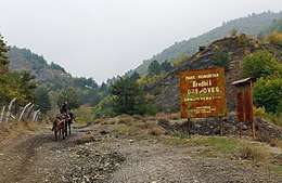 Old entrance of the National Park | |
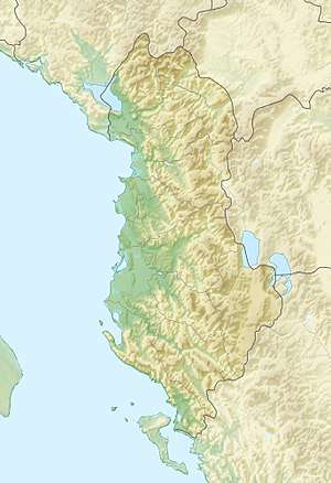 | |
| Location | Korçë District |
| Nearest city | Korçë |
| Coordinates | 40°35′0″N 20°48′0″E / 40.58333°N 20.80000°ECoordinates: 40°35′0″N 20°48′0″E / 40.58333°N 20.80000°E |
| Area | 1,030 ha (10.3 km2) |
| Established | 21 November 1966[1] |
| Governing body | Ministry of Environment |
The Fir of Drenovë National Park (Albanian: Parku Kombëtar Bredhi i Drenovës) is a national park near Korçë in eastern Albania, with an area of 10.3 km2 (4.0 sq mi).[2][3]
The park falls within the Illyrian deciduous forests and Dinaric Alpine mixed forests terrestrial ecoregion of the Palearctic Temperate broadleaf and mixed forest, dominated by the Silver fir. The diverse morphological, climatic and hydrological conditions of the region favour the formation of a large number of geological features. The national park is host to many rock formations such as the Stone of Capi, the Cut stone, the Zhombrit’s Pyramide, Cave of Tren but also many water features such as the Lenies Lakes, and the Carstic Cavity. All these are under protections and declared as natural landmarks by the Government of Albania.[4]
See also
References
- ↑ "RRJETI I ZONAVE TË MBROJTURA NË SHQIPËRI" (PDF). mjedisi.gov.al (in Albanian). p. 1.
- ↑ "National Agency of Protected Areas in Albania". akzm.gov.al. Retrieved 24 May 2016.
- ↑ "RRJETI I ZONAVE TE MBROJTURA NE SHQIPERI". mjedisi.gov.a. mjedisi.gov.al. Retrieved 24 May 2016. (in Albanian)
- ↑ "Biotourist map of Korça Region" (PDF). biopolitics.gr. p. 8.
| ||||||||||