Fabijoniškės
| Fabijoniškės | |
|---|---|
| Eldership | |
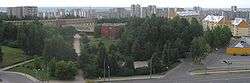 Panorama of Fabijoniškės | |
 Fabijoniškės Location of Fabijoniškės | |
| Coordinates: 54°44′0″N 25°14′30″E / 54.73333°N 25.24167°ECoordinates: 54°44′0″N 25°14′30″E / 54.73333°N 25.24167°E | |
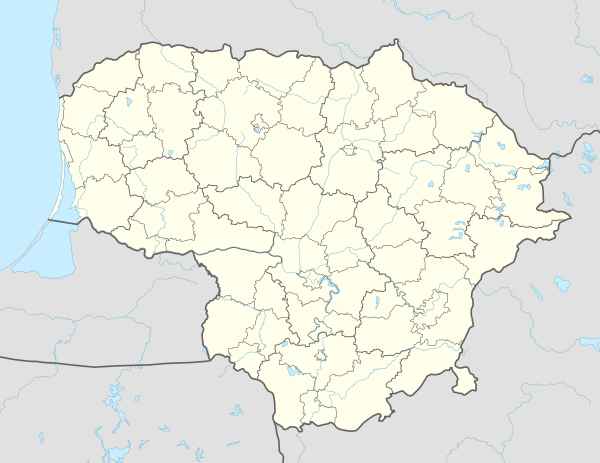
| Country |
|
| County |
|
| Municipality | Vilnius city municipality |
| Area | |
| • Total | 4.1 km2 (1.6 sq mi) |
| Population (2016) | |
| • Total | 37,000 |
| • Density | 9,000/km2 (23,000/sq mi) |
| Time zone | UTC+2 (EET) |
| • Summer (DST) | UTC+3 (EEST) |
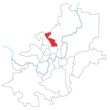
Location of Fabijoniškės eldership within Vilnius
Fabijoniškės, located in the northern part of Vilnius, is one of the newest districts of Vilnius municipality, built in the late 1980s to early 1990s in the territory of former Fabijoniškės village.
This article is issued from
Wikipedia.
The text is licensed under Creative Commons - Attribution - Sharealike.
Additional terms may apply for the media files.