En Nahud Airport
| En Nahud Airport | |||||||||||
|---|---|---|---|---|---|---|---|---|---|---|---|
| Summary | |||||||||||
| Airport type | Public | ||||||||||
| Serves | En Nahud | ||||||||||
| Elevation AMSL | 1,955 ft / 596 m | ||||||||||
| Coordinates | 12°42′10″N 28°26′10″E / 12.70278°N 28.43611°ECoordinates: 12°42′10″N 28°26′10″E / 12.70278°N 28.43611°E | ||||||||||
| Map | |||||||||||
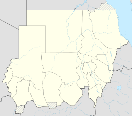 NUD Location of the airport in Sudan | |||||||||||
| Runways | |||||||||||
| |||||||||||
En Nahud Airport (IATA: NUD, ICAO: HSNH) is an airstrip serving the town of En Nahud in Sudan. The runway has housing encroaching its boundaries, and is subject to vehicle traffic.
See also


- Transport in Sudan
- List of airports in Sudan
References
- ↑ Google Map - En Nahud
- ↑ Airport information for NUD at Great Circle Mapper.
- Google Earth
External links
This article is issued from
Wikipedia.
The text is licensed under Creative Commons - Attribution - Sharealike.
Additional terms may apply for the media files.