Emuruangogolak
| Emuruangogolak | |
|---|---|
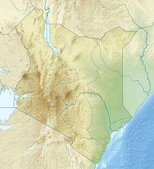 Emuruangogolak Location in Kenya | |
| Highest point | |
| Elevation | 1,328 m (4,357 ft) [1] |
| Coordinates | 1°30′N 36°20′E / 1.50°N 36.33°ECoordinates: 1°30′N 36°20′E / 1.50°N 36.33°E |
| Geography | |
| Location | Kenya |
| Geology | |
| Age of rock | Pleistocene to recent |
| Last eruption | 1910 ± 50 years |
Emuruangogolak is an active shield volcano straddling the Gregory Rift in Kenya, in Eastern Africa. It has a 3.5-by-5.0-kilometre (2.2 mi × 3.1 mi) caldera on its summit. The last known eruption was a trachyte flow which occurred in 1910.[1] Steam vents and fumarolic activity continues from fissures within the caldera and along the flanks of the volcano. Several maar lakes exist in the rift valley adjacent to the volcano.[1] The volcano's summit is at 1,328 metres (4,357 ft) elevation, and its formation is calculated to have been 38,000 years ago.[1]
See also
References
This article is issued from
Wikipedia.
The text is licensed under Creative Commons - Attribution - Sharealike.
Additional terms may apply for the media files.