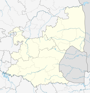
Kwaggafontein
| Kwaggafontein | |
|---|---|
 Kwaggafontein  Kwaggafontein Kwaggafontein (South Africa)  Kwaggafontein Kwaggafontein (Africa) | |
| Coordinates: 25°17′53″S 28°57′14″E / 25.298°S 28.954°ECoordinates: 25°17′53″S 28°57′14″E / 25.298°S 28.954°E | |
| Country | South Africa |
| Province | Mpumalanga |
| District | Nkangala |
| Municipality | Thembisile Hani |
| Area[1] | |
| • Total | 17.84 km2 (6.89 sq mi) |
| Population (2011)[1] | |
| • Total | 45,104 |
| • Density | 2,500/km2 (6,500/sq mi) |
| Racial makeup (2011)[1] | |
| • Black African | 98.9% |
| • Coloured | 0.3% |
| • Indian/Asian | 0.5% |
| • White | 0.1% |
| • Other | 0.2% |
| First languages (2011)[1] | |
| • S. Ndebele | 69.9% |
| • Zulu | 13.4% |
| • Northern Sotho | 4.0% |
| • Sotho | 3.1% |
| • Other | 9.6% |
| Time zone | UTC+2 (SAST) |
| PO box | 0458 |
Kwaggafontein is a town in Nkangala District Municipality in the Mpumalanga province of South Africa. It was established in late 1940s by the AmaNdebele tribe that came from places like Ekangala and other farms that today boarders the Mpumalanga and Gauteng provinces.
References
- 1 2 3 4 "Main Place Kwaggafontein". Census 2011.
This article is issued from
Wikipedia.
The text is licensed under Creative Commons - Attribution - Sharealike.
Additional terms may apply for the media files.
.svg.png)