Elm (hills)
| Elm | |
|---|---|
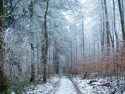 Elm in winter | |
| Highest point | |
| Peak | Eilumer Horn |
| Elevation | 323 m (1,060 ft) |
| Geography | |
 | |
| Country | Germany |
| State/Province | Lower Saxony |
| Geology | |
| Orogeny | Triassic |
| Type of rock | Muschelkalk limestone |
The Elm (![]()
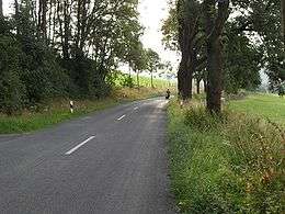
The Elm is a popular among hikers, cyclists, and motor cyclists.
Rivers originating in the Elm include:
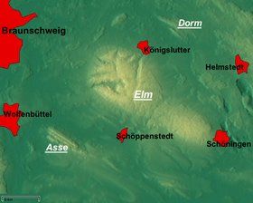
Towns on the edge of the Elm include:
Elevations
- Eilumer Horn (323,3 m)
- Osterberg (c. 314 m)
- Drachenberg (c. 313 m)
- Burgberg (c. 311 m)
- Amplebener Berg (310 m)
- Kleiner Tafelberg (c. 302 m)
- Kiefelhorn (301 m)
- Großer Tafelberg (296 m)
- Warberg (290 m)
- Wolfsburger Kopf (289 m)
Sources
- Heinz-Bruno Krieger: Elmsagen. Oeding, Braunschweig-Schöppenstedt 1967.
- Heinz Röhr: Der Elm. Oeding, Braunschweig-Schöppenstedt 1962.

Coordinates: 52°11′57″N 10°44′10″E / 52.19917°N 10.73611°E
| North German Plain | 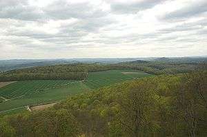 | |
|---|---|---|
| Harz Mountains | ||
| Lower Weser Uplands | ||
| Weser-Leine Uplands |
| |
| East Hesse Highlands | ||