Elliot Water
| Elliot Water | |
| River | |
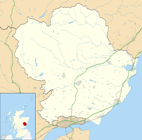
| Country | Scotland |
|---|---|
| Counties | Angus, Scotland |
| Tributaries | |
| - left | Rottenraw Burn |
| Towns/Cities | Carmyllie, Arbirlot, Elliot, Arbroath |
| Source | |
| - location | Carmyllie, Angus, Scotland |
| - elevation | 700 ft (213 m) |
| - coordinates | 56°35′06″N 2°46′59″W / 56.585026°N 2.783126°W |
| Mouth | North Sea |
| - location | Elliot, Arbroath, UK |
| - elevation | 0 m (0 ft) |
| - coordinates | 56°32′29″N 2°37′16″W / 56.541447°N 2.621174°WCoordinates: 56°32′29″N 2°37′16″W / 56.541447°N 2.621174°W |
| Length | 12 km (7 mi) |
 | |
The Elliot Water is a minor river in Angus, Scotland. The Elliot rises near West Hills in Carmyllie and flows through the parish and village of Arbirlot before reaching the North Sea at Elliot, on the west side of Arbroath. The total length is around 7½ miles or 12 km.[1]
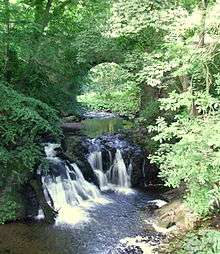 Falls at Arbirlot | 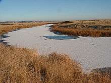 Elliot Water near North Sea outfall |
The Elliot has been designated as a "freshwater fish protected area" by the Scottish Environment Protection Agency.[2]
References
Visit Angus - Elliot Nature Trail
- ↑ "Dundee and Montrose, Forfar and Arbroath", Ordnance Survey Landranger Map (B2 ed.), 2007, ISBN 0-319-22980-7
- ↑ SEPA Water Body Data Sheet
This article is issued from
Wikipedia.
The text is licensed under Creative Commons - Attribution - Sharealike.
Additional terms may apply for the media files.