Ellingråsa Lighthouse
  | |
| Location | Trøndelag, Norway |
|---|---|
| Coordinates | 64°34′28.2″N 10°48′02.8″E / 64.574500°N 10.800778°ECoordinates: 64°34′28.2″N 10°48′02.8″E / 64.574500°N 10.800778°E |
| Year first constructed | 1888 (first) |
| Year first lit | 2001 (current) |
| Automated | 1959 |
| Deactivated | 2001 (first) |
| Tower shape | Cylindrical tower |
| Markings / pattern | White with red top |
| Height | 5.7 metres (19 ft) |
| Focal height | 20.5 metres (67 ft) |
| Range |
Red: 5.5 nmi (10.2 km; 6.3 mi) |
| Characteristic | Fl (2) WRG 5s |
| Admiralty number | L1750 |
| NGA number | 8672 |
| ARLHS number | NOR-071 |
| Norway number | 509100 |
| Managing agent | Ellingråsa Lighthouse Lodge |
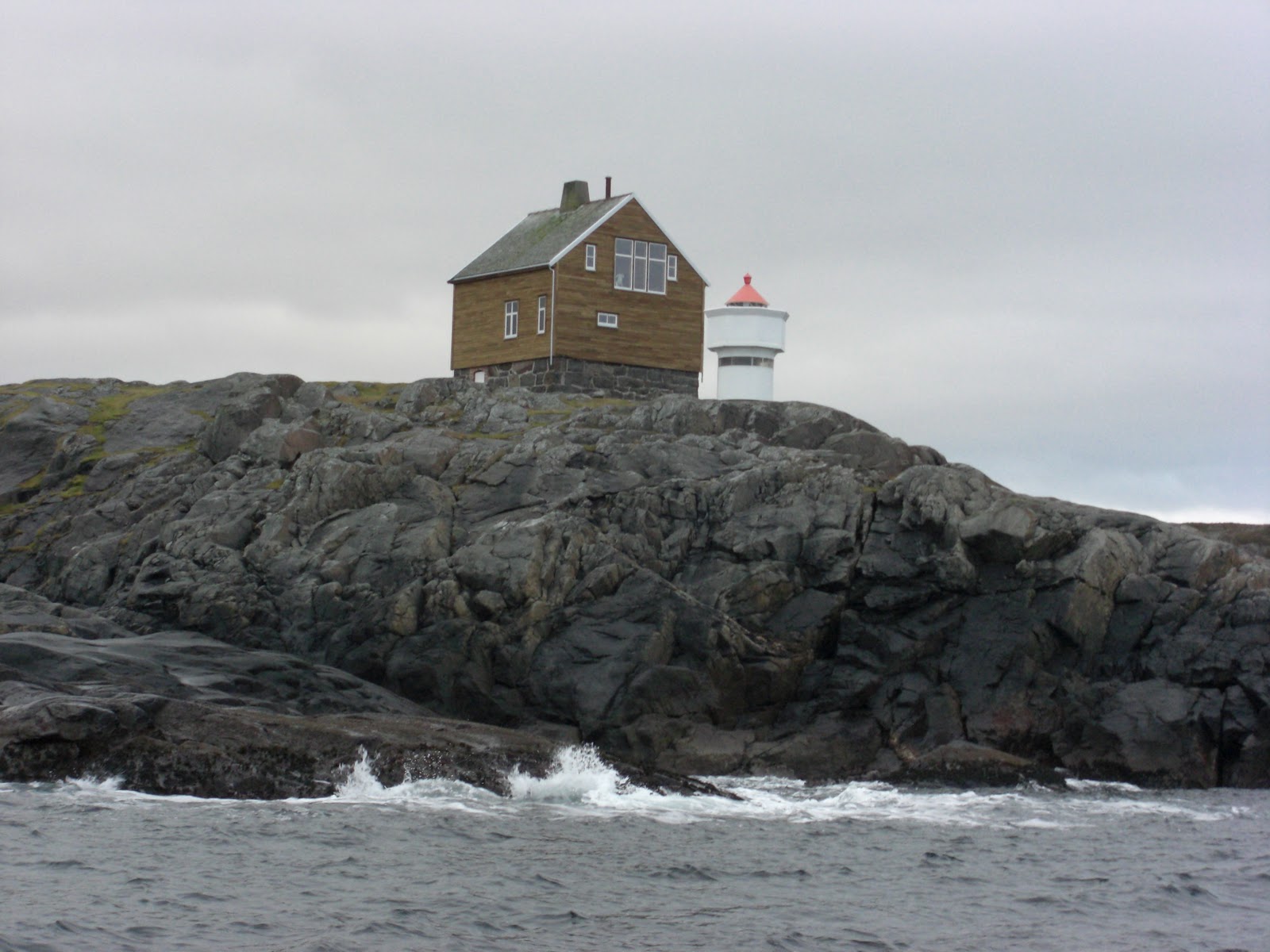
Ellingråsa Lighthouse (Norwegian: Ellingråsa fyrstasjon) is a lighthouse that is located on the island of Bjørøya in the Folda sea in the municipality of Flatanger in Trøndelag county, Norway. The lighthouse was completed in 1888 to replace the old Villa Lighthouse which closed in 1890. Ellingråsa Lighthouse was automated in 1959.[1]
The 5.7-metre (19 ft) tall tower emits a white, red or green light (depending on direction), flashing twice every five seconds. The light can be seen for up to 7.5 nmi (13.9 km; 8.6 mi) away. The tower sits right next to the old Ellingråsa Lighthouse building which was closed in 2001.[2][3]
See also
References
- ↑ "Ellingråsa" (in Norwegian). Fyr.no. Retrieved 2011-08-16.
- ↑ Rowlett, Russ (2011-07-19). "Lighthouses of Norway: Nord-Trøndelag". The Lighthouse Directory. Retrieved 2018-04-17.
- ↑ Kystverket (2018). Norske Fyrliste (PDF) (in Norwegian). ISBN 9788245015959.
External links
- Norsk Fyrhistorisk Forening (in Norwegian)
- Picture of Ellingråsa Lighthouse
This article is issued from
Wikipedia.
The text is licensed under Creative Commons - Attribution - Sharealike.
Additional terms may apply for the media files.