El Salheya El Gedida
| El Salheya El Gedida الصالحية الجديدة | |
|---|---|
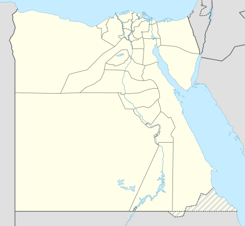 El Salheya El Gedida Location in Egypt | |
| Coordinates: 30°39′14″N 31°52′28″E / 30.653862°N 31.874371°ECoordinates: 30°39′14″N 31°52′28″E / 30.653862°N 31.874371°E | |
| Country |
|
| Governorate | Sharqia |
| Time zone | UTC+2 (EST) |
El Salheya El Gedida (Egyptian Arabic: الصالحية الجديدة; pronounced [es.sˤɑlˈħejjɑ l.ɡɪˈdiːdæ]) is a city in the Sharqia Governorate, Egypt. It was established in 1982, as part of the first generation of the new Egyptian cities.
Climate
Köppen-Geiger climate classification system classifies its climate as hot desert (BWh),[1] as the rest of Egypt.
| Climate data for El Salheya El Gedida | |||||||||||||
|---|---|---|---|---|---|---|---|---|---|---|---|---|---|
| Month | Jan | Feb | Mar | Apr | May | Jun | Jul | Aug | Sep | Oct | Nov | Dec | Year |
| Average high °C (°F) | 18.5 (65.3) |
19.8 (67.6) |
23 (73) |
27 (81) |
31.2 (88.2) |
33.8 (92.8) |
34.4 (93.9) |
34.4 (93.9) |
32.1 (89.8) |
29.5 (85.1) |
24.9 (76.8) |
20.2 (68.4) |
27.4 (81.3) |
| Daily mean °C (°F) | 13.1 (55.6) |
14.1 (57.4) |
16.7 (62.1) |
20.1 (68.2) |
23.8 (74.8) |
26.6 (79.9) |
27.8 (82) |
28 (82) |
25.9 (78.6) |
23.5 (74.3) |
19.6 (67.3) |
14.8 (58.6) |
21.2 (70.1) |
| Average low °C (°F) | 7.7 (45.9) |
8.4 (47.1) |
10.4 (50.7) |
13.2 (55.8) |
16.5 (61.7) |
19.5 (67.1) |
21.3 (70.3) |
21.6 (70.9) |
19.7 (67.5) |
17.6 (63.7) |
14.3 (57.7) |
9.5 (49.1) |
15 (59) |
| Average precipitation mm (inches) | 9 (0.35) |
6 (0.24) |
6 (0.24) |
2 (0.08) |
1 (0.04) |
0 (0) |
0 (0) |
0 (0) |
0 (0) |
3 (0.12) |
7 (0.28) |
6 (0.24) |
40 (1.59) |
| Source: Climate-Data.org (altitude: 27m)[1] | |||||||||||||
Notes
References
- 1 2 "Climate: ]Al-Salheya Al-Gedida - Climate graph, Temperature graph, Climate table". Climate-Data.org. Retrieved 2014-01-02.
This article is issued from
Wikipedia.
The text is licensed under Creative Commons - Attribution - Sharealike.
Additional terms may apply for the media files.