El Corpus
| El Corpus | |
|---|---|
| Municipality | |
 El Corpus Location in Honduras | |
| Coordinates: 13°17′N 87°2′W / 13.283°N 87.033°W | |
| Country | Honduras |
| Department | Choluteca |
El Corpus is a municipality in the Honduran department of Choluteca.[1]
Location
The municipality is located east of the department of Choluteca.
Villages
The following 17 villages belong to the municipality:[2]
- El Corpus (Municipal head)
- Agua Fría
- Calaire
- Cayanini
- El Baldoquín
- El Banquito
- El Despoblado
- El Naranjal
- El Pedregal
- El Zapotal
- La Albarrada
- La Fortuna
- La Galera
- San Isidro
- San Juan Abajo
- San Juan Arriba
- San Judas
Capital: Choluteca | ||
| Municipalities | 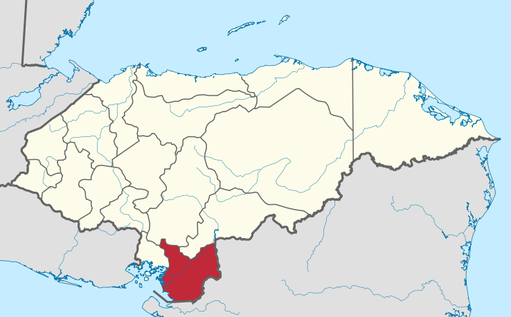 | |
Coordinates: 13°17′0″N 87°2′0″W / 13.28333°N 87.03333°W
- ↑ "Departments and Municipals". National Institute of Statistics (in Spanish).
- ↑ Instituto Nacional de Estadísticas, Honduras. (Censo 2001)
This article is issued from
Wikipedia.
The text is licensed under Creative Commons - Attribution - Sharealike.
Additional terms may apply for the media files.