Ehrenberg Island
| Native name: Ehrenbergøya | |
|---|---|
 Ehrenberg Island | |
| Geography | |
| Coordinates | 79°02′37″N 21°06′51″E / 79.04359°N 21.11405°ECoordinates: 79°02′37″N 21°06′51″E / 79.04359°N 21.11405°E |
| Administration | |
|
Norway | |
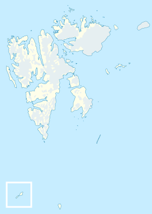
Ehrenberg Island[1][2] (Norwegian: Ehrenbergøya)[3] is a minor island in the Bastian Islands in the Svalbard archipelago. It lies north of Lange Island.
The island has the shape of an inverted teardrop and its highest elevation is 30 meters (98 ft) above sea level. The closest neighboring islands are Lange Island about 500 meters (1,600 ft) to the south and Wilhelm Island about 7 kilometers (4.3 mi) to the east. The wildlife consists largely of polar bears.
Most of the Bastian Islands were named during the First German North Polar Expedition in 1868. Ehrenberg Island is named after the German zoologist Christian Gottfried Ehrenberg.[3]
References
- ↑ "Ehrenberg, Svalbard - Geographical Names, map, geographic coordinates". geographic.org. Retrieved 7 May 2016.
- ↑ "Ehrenberg, Svalbard, Svalbard Fishing Island Maps - MyFishMaps.com". myfishmaps.com. Retrieved 7 May 2016.
- 1 2 "Ehrenbergøya - Øy (Svalbard)". npolar.no. Retrieved 7 May 2016.
This article is issued from
Wikipedia.
The text is licensed under Creative Commons - Attribution - Sharealike.
Additional terms may apply for the media files.