Dun Telve
Coordinates: 57°11′41″N 5°35′41″W / 57.194613°N 5.594653°W
 Dun Telve | |
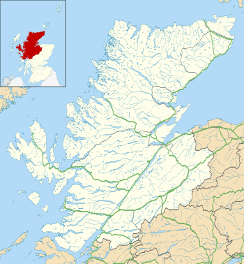 Shown within Highland | |
| Alternative name | Dùn Teilbh |
|---|---|
| Location | Scottish Highlands |
| Coordinates | 57°11′41″N 5°35′41″W / 57.194613°N 5.594653°W |
| Type | Broch |
| History | |
| Periods | Iron Age |
| Site notes | |
| Ownership | Historic Scotland |
| Public access | Yes |
Dun Telve (Scottish Gaelic: Dùn Teilbh) is an iron-age broch located about 4 kilometres (2.5 mi) southeast of the village of Glenelg, Highland, in Scotland. It is one of the best preserved brochs in Scotland.
Location
Dun Telve (grid reference NG82921726) stands on the north bank of the Abhainn a’Ghlaine Bhig, in the lower reaches of Gleann Beag. It lies next to the minor road which leads south from Glenelg. The neighbouring broch of Dun Troddan lies 470 metres (1,540 ft) to the east, and the "semi-broch" known as Dun Grugaig is around 2.5 kilometres (1.6 mi) further east.[1]
History
It is thought that the broch was robbed for stone in 1722 (probably for the building of Bernera Barracks in Glenelg).[2] Dun Telve was popular with tourists by the late 18th century, and was first sketched in the late 18th century.[2] It was surveyed in detail in 1871–1873 by Henry Dryden. The building was brought into state care between 1882 and 1901 and the boundary markers that define the area of guardianship are still visible.[2] Around 1914 a programme of works was undertaken by the Office of Works which included "clearing out" the interior, inserting concrete into the upper intramural space and pointing the internal wall-face.[2] The broch has never been archaeologically excavated.[2] The broch is now in the care of Historic Scotland.
Description
The broch consists of a drystone tower which measures 18.3 metres (60 ft) in diameter, and currently stands to a maximum height of 10.2 metres (33 ft) to the west and northwest.[2] The external walls are 4.3 metres (14 ft) thick at the base and 1.2 metres (3 ft 11 in) thick at the top.[2] The entrance is on the west but it has been modified, probably in the mid-19th century.[2] On the south side of the entrance passage is a small side-chamber, sometimes called a "guard cell".[3]
A doorway on the north side of the interior of the broch provides access first to an internal cell and then to the intramural space that narrows as it rises through to the top of the surviving wall.[2] Access up the tower is by a winding stone stair, and openings at intervals once gave access to the upper floors.[3] The presence of two horizontal stone ledges, or scarcements, up the height of the surviving section suggests that there were two upper floors.[3] The top floor would have been around 9 metres (30 ft) above ground level.[3]
Structures appended to the west and northwest sides of Dun Telve include at least one rectangular building.[2]
References
- ↑ Historic Environment Scotland. "Dun Grugaig, Glenelg (11772)". Canmore. Retrieved 14 February 2014.
- 1 2 3 4 5 6 7 8 9 10 Historic Environment Scotland. "Dun Telve (11798)". Canmore. Retrieved 13 February 2014.
- 1 2 3 4 "Glenelg Brochs: Dun Telve And Dun Troddan". Historic Scotland. Retrieved 13 February 2014.
External links
| Wikimedia Commons has media related to Dun Telve. |
- Glenelg Brochs: Dun Telve And Dun Troddan, Historic Scotland