Douglas, Belize
Coordinates: 18°14′15″N 88°36′06″W / 18.23750°N 88.60167°W
| Douglas | |
|---|---|
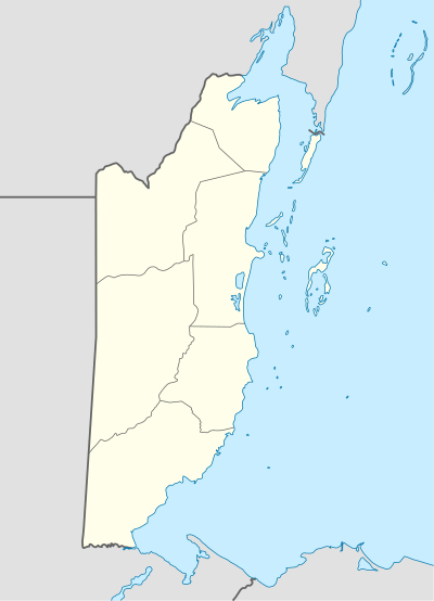 Douglas Location of Douglas in Belize | |
| Coordinates: 18°14′15″N 88°36′06″W / 18.23750°N 88.60167°W | |
| Country |
|
| District | Orange Walk District |
| Time zone | UTC-6 (Central) |
| Climate | Am |
Douglas is a village situated by the Rio Hondo river in Orange Walk District, Belize, 12 miles from Orange Walk Town.[1] According to the 2010 census, there were 122 households in Douglas with a population of 521 people, 270 males and 250 females consisting mostly from people of Maya Mestizo(Yucatec Maya) descent . [2]
References
- ↑ Swift, Keith (31 October 2008). "110 Families Evacuate from Douglas Village". Channel 7 News Belize. Retrieved 12 February 2016.
- ↑ "POPULATION & HOUSEHOLD : Population Section Tables : Table 8 : Orange Walk Population by CTV, Sex, Number of Households and Average Household Size, 2010 (Excel spreadsheet)". Statistical Institute of Belize. Retrieved 12 February 2016.
This article is issued from
Wikipedia.
The text is licensed under Creative Commons - Attribution - Sharealike.
Additional terms may apply for the media files.