Dos Lagunas Airport
| Dos Lagunas Airport | |||||||||||
|---|---|---|---|---|---|---|---|---|---|---|---|
| Summary | |||||||||||
| Airport type | Public | ||||||||||
| Serves | Biotopo Protegido Naachtun | ||||||||||
| Elevation AMSL | 709 ft / 216 m | ||||||||||
| Coordinates | 17°41′30″N 89°31′30″W / 17.69167°N 89.52500°WCoordinates: 17°41′30″N 89°31′30″W / 17.69167°N 89.52500°W | ||||||||||
| Map | |||||||||||
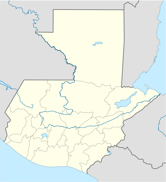
 DON Location of the airport in Guatemala | |||||||||||
| Runways | |||||||||||
| |||||||||||
Dos Lagunas Airport (IATA: DON, ICAO: MGDL) is an airstrip near the Biotopo Protegido Naachtun[3] station and archeological site in Peten Department, Guatemala. Dos Lagunas is part of the Maya Biosphere Reserve.
The airstrip is likely closed. Three aerial image sources show the runway completely overgrown.[4][5][6]
See also


- Transport in Guatemala
- List of airports in Guatemala
References
- ↑ "Dos Lagunas Airport". Landings.com. Retrieved 27 August 2018.
- ↑ Airport information for DON at Great Circle Mapper.
- ↑ "Biotopo Protegido Naachtun". Guatemala.com (in Spanish). Retrieved 27 August 2018.
- ↑ "Dos Lagunas airstrip". Bing Maps. Microsoft. Retrieved 27 August 2018.
- ↑ "Dos Lagunas Airport". HERE Maps. Retrieved 27 August 2018.
- ↑ "Dos Lagunas Airport". Google Maps. Google. Retrieved 27 August 2018.
External links
- OpenStreetMap - Dos Lagunas Airport
- OurAirports - Dos Lagunas
- Accident history for DON at Aviation Safety Network
This article is issued from
Wikipedia.
The text is licensed under Creative Commons - Attribution - Sharealike.
Additional terms may apply for the media files.