Donggang River (Taiwan)
| Donggang River | |
|---|---|
 Donggang River in Taiwan | |
| Country | Taiwan |
| Physical characteristics | |
| River mouth |
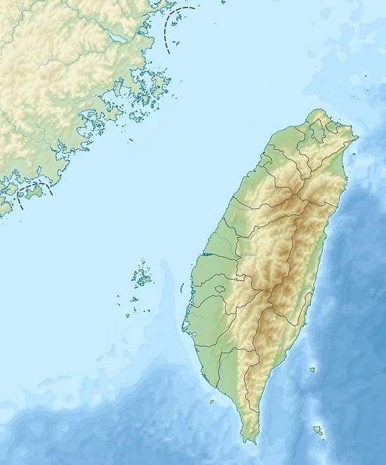
South China Sea: Donggang, Pingtung 22°28′05″N 120°26′13″E / 22.468°N 120.437°ECoordinates: 22°28′05″N 120°26′13″E / 22.468°N 120.437°E |
| Length | 44 km (27 mi) |
| Basin features | |
| Basin size | 472 km2 (182 sq mi) |
The Donggang River (Chinese: 東港溪; pinyin: Dōnggǎng Xī; Wade–Giles: Tung1-kang3 Hsi1; Pe̍h-ōe-jī: Tang-káng-khoe) is a river in Taiwan. It flows through Pingtung County for 44 km.[1][2]
Bridges
See also
References
- ↑ "Geography & demographics". The Republic of China Yearbook 2015. Executive Yuan. 2015. pp. 40–53. ISBN 978-986-04-6013-1.
- ↑ "GeoNames Search". Geographic Names Database. National Geospatial-Intelligence Agency, USA. Retrieved 1 May 2016.
This article is issued from
Wikipedia.
The text is licensed under Creative Commons - Attribution - Sharealike.
Additional terms may apply for the media files.