Dolora, New South Wales
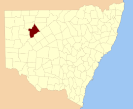
Dolora Parish is a civil parish of Killara County,[1] located in Central Darling Shire of NSW at Latitude 31°20′07″S and 143°59′32″E .
Dolora Parish is on the Darling River between Wilcannia and Tilpa, New South Wales. The parish has a Köppen climate classification of BSh (Hot semi-desert)[2]. The parish is barely inhabited with a population density of less than 1 person per 150km² and the landscape is a flat arid scrubland.
The Parish is mainly an agricultural area, with sheep grazing the primary activity, and some pockets of irrigated land along the river. Tourism,[3] Fishing and camping are popular along the river.[3] including farmstay programs on local stations, is the other major local industry. Fishing and camping are popular along the river.[3]
In 1838 Thomas Mitchell (explorer) became the first European to the parish as he travelled down the Darling River.
References
- ↑ Map of the County of Killara, Western Division, N.S.W., Department of Lands, Sydney N.S.W , 1940.
- ↑ Peel, M. C.; Finlayson, B. L.; McMahon, T. A. (2007). "Updated world map of the Köppen–Geiger climate classification". Hydrol. Earth Syst. Sci. 11: 1633–1644. doi:10.5194/hess-11-1633-2007. ISSN 1027-5606. (direct: Final Revised Paper)
- 1 2 3 "Tilpa". WISE Basins. National Parks and Wildlife (New South Wales). Retrieved 2008-10-02.