Dolo Airport
| Dolo Airport | |||||||||||
|---|---|---|---|---|---|---|---|---|---|---|---|
| Summary | |||||||||||
| Airport type | Public | ||||||||||
| Serves | Dolo, Dolo Refugee Camp | ||||||||||
| Elevation AMSL | 625 ft / 191 m | ||||||||||
| Coordinates | 4°10′30″N 42°02′00″E / 4.17500°N 42.03333°ECoordinates: 4°10′30″N 42°02′00″E / 4.17500°N 42.03333°E | ||||||||||
| Map | |||||||||||
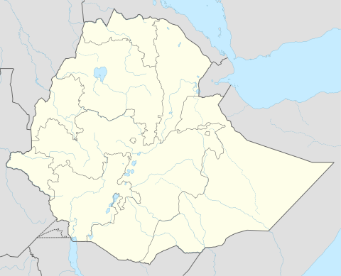 Dolo Location of the airport in Ethiopia | |||||||||||
| Runways | |||||||||||
| |||||||||||
|
Source: Google Maps[1] | |||||||||||
Dolo Airport is an airport serving Dolo in Ethiopia.
Airport was constructed between 2009 and 2012,[2] and supports UNHCR refugee operations[3][4] in the area.
See also

Airlines and destinations
Passenger
| Airlines | Destinations |
|---|---|
| National Airways Ethiopia | Addis Ababa |
References
- ↑ Google Maps - Dolo
- ↑ Virtual Earth
- ↑ Dolo Atlas (56.6 MB)
- ↑ Refugees, United Nations High Commissioner for. "Ethiopia". UNHCR. Retrieved 2018-08-20.
- Google Earth
- OpenMaps Maps
External links
This article is issued from
Wikipedia.
The text is licensed under Creative Commons - Attribution - Sharealike.
Additional terms may apply for the media files.