Doliche (Thessaly)
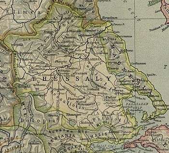
Doliche (Greek: Δολίχη)[1] was an ancient Greek city and polis (city-state) in Perrhaebia in Thessaly, situated at the foot of Mount Olympus.[2] Doliche, with the two neighbouring towns of Azorus and Pythion (Pythium), formed a Tripolis.
During the Roman–Seleucid War, the Tripolis was ravaged by an army of the Aetolian League in the year 191 BCE.[3] During the Third Macedonian War the three towns surrendered to the army of Perseus of Macedon in the year 171 BCE,[4] but that same year the Romans reconquered the three.[5] In the year 169 BCE troops arrived from the Roman consul Quintus Marcius Philippus who camped between Azorus and Doliche.[6][7]
The three cities minted a common coin with the inscription "ΤΡΙΠΟΛΙΤΑΝ".[8]
The site is occupied by the modern town of Dolichi;[9][10] when William Martin Leake visited the site in the 19th century, he found two fragments of Doric columns 2 feet 8 inches (81 cm) in diameter in a ruined church, and a sepulchral stone in the burying-ground, together with some squared blocks.[11]
References
- ↑ Ptolemy. The Geography. 3.13.42.
- ↑ Mogens Herman Hansen & Thomas Heine Nielsen (2004). "Thessaly and Adjacent Regions". An inventory of archaic and classical poleis. New York: Oxford University Press. pp. 722–723. ISBN 0-19-814099-1.
- ↑ Livy. Ab Urbe Condita Libri (History of Rome). 36.10.
- ↑ Livy. Ab Urbe Condita Libri (History of Rome). 42.53.
- ↑ Livy. Ab Urbe Condita Libri (History of Rome). 42.67.
- ↑ Polybius. The Histories. 28.11, 28.13.1.
- ↑ Livy. Ab Urbe Condita Libri (History of Rome). 44.2.
- ↑ Mogens Herman Hansen & Thomas Heine Nielsen (2004). "Thessaly and Adjacent Regions". An inventory of archaic and classical poleis. New York: Oxford University Press. pp. 721–722. ISBN 0-19-814099-1.
- ↑ Richard Talbert, ed. (2000). Barrington Atlas of the Greek and Roman World. Princeton University Press. p. 50, and directory notes accompanying.
- ↑ Lund University. Digital Atlas of the Roman Empire.
- ↑ William Martin Leake, Northern Greece, vol. iii. p. 344.
Sources

Coordinates: 40°03′27″N 22°10′00″E / 40.05755°N 22.16653°E