Doleni
| Doleni Долени | |
|---|---|
| Village | |
 | |
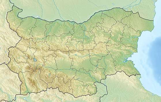 Doleni Location of Doleni | |
| Coordinates: 41°34′18″N 23°24′47″E / 41.57167°N 23.41306°E | |
| Country |
|
| Province | Blagoevgrad Province |
| Municipality | Sandanski |
| Area | |
| • Total | 10.176 km2 (3.929 sq mi) |
| Elevation | 796 m (2,612 ft) |
| Population (2013)[1] | |
| • Total | 3 |
| Time zone | UTC+2 (EET) |
| • Summer (DST) | UTC+3 (EEST) |
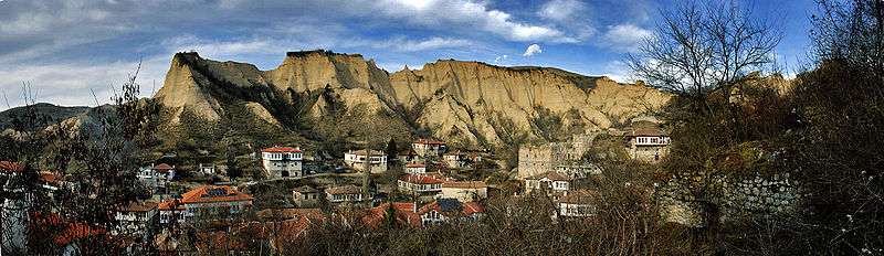
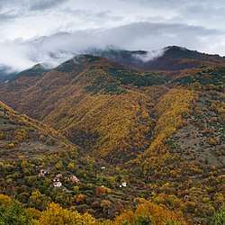
Doleni (Bulgarian: Долени) is a village in the municipality of Sandanski, in Blagoevgrad Province, south-western Bulgaria and as of 2013 has only 3 inhabitants.[1] It is situated at the south-western foothills of the Pirin mountains a few kilometres north of the Melnik Earth Pyramids. Further north is located Pirin National Park, a UNESCO World Heritage Site. Doleni lies some 124 km south of the national capital Sofia.[1]
In the Middle Ages the village was part of the Bulgarian Empire. In the 14th century Rila Charter of Emperor Ivan Shishman (r. 1371–1395) it was listed as a possession of the Rila Monastery. The village church of Saint Petka was contructed in the 19th century. In 1873 it had 35 households and 120 inhabitants, all of them Bulgarians. At the outbreak of the First Balkan War in 1912 two people from Doleni joined the Macedonian-Adrianopolitan Volunteer Corps that was formed in support the Bulgarian war effort against the Ottoman Empire.[2]
Citations
References
- Collective (2006). Македоно-одринското опълчение 1912-1913 г. Личен състав [Macedonian-Adrianopolitan Volunteer Corps 1912-1913. Personnel] (in Bulgarian). София (Sofia): Главно управление на архивите (General Department of Archives). ISBN 954-9800-52-0.