Dodola Airport
| Dodola Airport | |||||||||||
|---|---|---|---|---|---|---|---|---|---|---|---|
| Summary | |||||||||||
| Airport type | Public | ||||||||||
| Serves | Dodola | ||||||||||
| Elevation AMSL | 8,234 ft / 2,510 m | ||||||||||
| Coordinates | 7°01′15″N 39°03′00″E / 7.02083°N 39.05000°ECoordinates: 7°01′15″N 39°03′00″E / 7.02083°N 39.05000°E | ||||||||||
| Map | |||||||||||
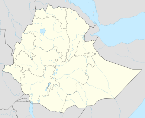 HADO Location of the airport in Ethiopia | |||||||||||
| Runways | |||||||||||
| |||||||||||
Dodola Airport (ICAO: HADO ) is an airstrip serving the city of Dodola in the Oromia Region of Ethiopia. The runway is 15 kilometres (9.3 mi) west of the city.
See also
- Transport in Ethiopia
- List of airports in Ethiopia


References
- ↑ Google Maps - Dodola
- ↑ Airport information for HADO at Great Circle Mapper.
External links
This article is issued from
Wikipedia.
The text is licensed under Creative Commons - Attribution - Sharealike.
Additional terms may apply for the media files.