Do Tuvali
| Do Tuvali دوتوولي | |
|---|---|
| valley | |
 Do Tuvali | |
| Coordinates: 27°57′04″N 52°09′44″E / 27.95111°N 52.16222°ECoordinates: 27°57′04″N 52°09′44″E / 27.95111°N 52.16222°E | |
| Country |
|
| Province | Bushehr |
| County | Jam |
| Bakhsh | Riz |
| Rural District | Tashan |
| Population (2006) | |
| • Total | 25 |
| Time zone | UTC+3:30 (IRST) |
| • Summer (DST) | UTC+4:30 (IRDT) |
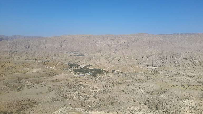
Panaroma of Doto valley from Zagros mountain range
Do Tuvali (Persian: دوتوولي, also Romanized as Do Tūvalī and Dotūvalī)[1] is a valley in Tashan Rural District, Riz District, Jam County, Bushehr Province, Iran. At the 2006 census, its population was 25, in 4 families.[2]. The name Do Tuvali is thought to be a combination of Doto + valley (the valley of Doto). The geographical location resembles an old valley. the early settlers of Doto valley were non believers. Later, they immigrated to elsewhere and Muslims occupied their place.
References
- ↑ Iranian National Committee for Standardization of Geographical Names website (in Persian)
- ↑ "Census of the Islamic Republic of Iran, 1385 (2006)". Islamic Republic of Iran. Archived from the original (Excel) on 2011-11-11.
This article is issued from
Wikipedia.
The text is licensed under Creative Commons - Attribution - Sharealike.
Additional terms may apply for the media files.