Dixie Farms
| Dixie Farms | |
|---|---|
| Neighborhood | |
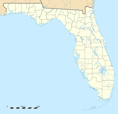
 Dixie Farms Location within the state of Florida | |
| Coordinates: 27°57′43″N 82°23′35″W / 27.96194°N 82.39306°WCoordinates: 27°57′43″N 82°23′35″W / 27.96194°N 82.39306°W | |
| Country | United States |
| State | Florida |
| County | Hillsborough |
| City | Tampa |
| Elevation | 20 ft (6 m) |
| Time zone | UTC-5 (Eastern (EST)) |
| • Summer (DST) | UTC-4 (EDT) |
| ZIP codes | 33619 |
Dixie Farms is a neighborhood near the district of Uceta Yard, which represents District 5 of the Tampa City Council.[1] The 2000 census numbers were unavailable, however, the latest estimated population was 34 and the population density was 249 people per square mile.[2]
Geography
Dixie Farms boundaries are roughly 52nd Street to the west, Broadway to the north, and Uceta Yard to the south and east.[3] The ZIP Code serving the neighborhood is 33619.
Education
Dixie Farms is served by Hillsborough County Public Schools, which serves the city of Tampa and Hillsborough County.
References
- ↑ District 5 Archived 2010-06-11 at the Wayback Machine.
- ↑ Dixie Farms neighborhood in Tampa, Florida (FL), 33619 detailed profile
- ↑ Batchgeocode Archived 2010-07-11 at the Wayback Machine.
External links
This article is issued from
Wikipedia.
The text is licensed under Creative Commons - Attribution - Sharealike.
Additional terms may apply for the media files.