De Haar, Coevorden
| De Haar | |
|---|---|
| Coordinates: 52°42′15″N 6°48′26″E / 52.70417°N 6.80722°E | |
| Country | Netherlands |
| Province | Drenthe |
| Municipality | Coevorden |
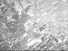
De Haar is a village in the Netherlands and it is part of the Coevorden municipality in Drenthe. Its altitude is 11 meters (39 feet).
External links
Coordinates: 52°42′N 6°47′E / 52.700°N 6.783°E
This article is issued from
Wikipedia.
The text is licensed under Creative Commons - Attribution - Sharealike.
Additional terms may apply for the media files.