Damerjog
| Damerjog داميرجوغ | |
|---|---|
| Town | |
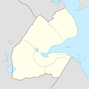 Damerjog داميرجوغ Location in Djibouti | |
| Coordinates: 11°29′N 43°11′E / 11.483°N 43.183°ECoordinates: 11°29′N 43°11′E / 11.483°N 43.183°E | |
| Country |
|
| Region | Arta Region |
| Elevation | 20 m (70 ft) |
| Population 2012 | |
| • Total | 600 |
Damerjog or Damerdjog (Arabic: داميرجوغ) is a small village located in eastern Djibouti, populated by farmers and gardeners, located in the Arta Region, 16 km southeast of the capital Djibouti, north of the border with Somalia.
History
The village came to surround a military post established for participation in migration control. In the 1970s, the movement was banned and the border between Damerjog.
Demographics
As of 2012, the population of Damerjog has been estimated to be 600. The town inhabitants belong to various mainly Afro-Asiatic-speaking ethnic groups, with the Issa Somali predominant.
Climate
| Climate data for Damerjog | |||||||||||||
|---|---|---|---|---|---|---|---|---|---|---|---|---|---|
| Month | Jan | Feb | Mar | Apr | May | Jun | Jul | Aug | Sep | Oct | Nov | Dec | Year |
| Average high °C (°F) | 28.7 (83.7) |
28.8 (83.8) |
30.4 (86.7) |
32.3 (90.1) |
34.3 (93.7) |
37.7 (99.9) |
41.4 (106.5) |
39.9 (103.8) |
36.2 (97.2) |
33.2 (91.8) |
30.9 (87.6) |
29.3 (84.7) |
33.6 (92.5) |
| Average low °C (°F) | 20.1 (68.2) |
23.4 (74.1) |
24.5 (76.1) |
25.9 (78.6) |
27.7 (81.9) |
30.1 (86.2) |
30.7 (87.3) |
29.8 (85.6) |
29.7 (85.5) |
26.2 (79.2) |
24.3 (75.7) |
21.2 (70.2) |
26.1 (79.1) |
| Average rainfall mm (inches) | 12.0 (0.472) |
18.8 (0.74) |
20.3 (0.799) |
29.9 (1.177) |
16.7 (0.657) |
3.1 (0.122) |
6.2 (0.244) |
5.6 (0.22) |
6.1 (0.24) |
21.2 (0.835) |
22.4 (0.882) |
11.2 (0.441) |
173.5 (6.829) |
| Source: Climate-Data.org, altitude: 20m[1] | |||||||||||||
References
- ↑ "Climate: Damerjog - Climate graph, Temperature graph, Climate table". Climate-Data.org. Retrieved 25 September 2016.
This article is issued from
Wikipedia.
The text is licensed under Creative Commons - Attribution - Sharealike.
Additional terms may apply for the media files.