Dahima, Hisar
| Dahima | |
|---|---|
| village | |
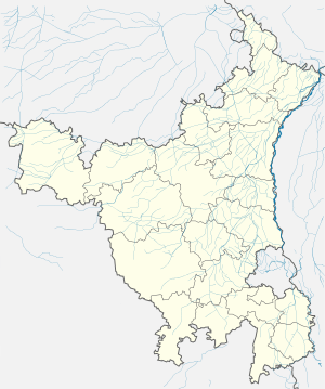
 Dahima Location in Haryana  Dahima Dahima (India) | |
| Coordinates: 29°02′44″N 75°48′04″E / 29.045632°N 75.801096°ECoordinates: 29°02′44″N 75°48′04″E / 29.045632°N 75.801096°E | |
| Country | India |
| State | Haryana |
| District | Hisar district |
| Municipality | Hissar-1 Tehsil |
| Population (2011) | |
| • Total | 2,273 |
| ISO 3166 code | IN-HR |
| Website |
www |
Dahima is a village in Hissar-1 Tehsil, Hisar district, Haryana, India. It is between the towns of Hisar and Tosham at about 16.6 kilometres (10.3 mi) on the Main District Road 108 (MDR 108).[1] Dahima[2] Its Pin code is 125006.[3]
Demographics
As of 2011 India census, Dahima (Hisar) had a population of 2273 in 442 households. Males (1205) constitute 53.01% of the population and females (1068) 46.98%. Dahima has an average literacy (1429) rate of 62.86%, less than the national average of 74%: male literacy (853) is 59.69%, and female literacy (576) is 40.3% of total literates (1429). In Dahima (Hisar) 13.28% of the population is under 6 years of age (302).[4] The main families of this village are JAAT'S .
Adjacent villages
- Dabra, Hisar
- Mirkan, Hisar
- Bhojraj
- Balawas
- Nalwa
- Khanak, Bhiwani
- Gunjar
- Kanwari
- Ladwa, Hisar
- Saharwa
- Kutiya
Dhamana
References
This article is issued from
Wikipedia.
The text is licensed under Creative Commons - Attribution - Sharealike.
Additional terms may apply for the media files.