Dagguirou
| Dagguirou داغويرو | |
|---|---|
| Town | |
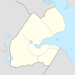 Dagguirou داغويرو Location in Djibouti | |
| Coordinates: 11°45′N 42°08′E / 11.750°N 42.133°ECoordinates: 11°45′N 42°08′E / 11.750°N 42.133°E | |
| Country |
|
| Region | Dikhil Region |
| Elevation | 140 m (460 ft) |
History
Dagguirou was a small village when the French created their French Somaliland.
The Italians complained that the area was part of Italian Eritrea. In 1935 they created a group of small fortifications (Abba, Dagguirou, Gouma, etc.) inside the western border of French Somalia, claiming at the end of 1937 that the territory was inside their colonial area.[1] Between 1 and 10 July 1940 several clashes with the Italians took place on the plain of Hanlé, at Ali-Sabieh and along the railroad.[2] The border area of western French Somalia (during the first months of World War II) was occupied by Italian troops, who only withdrew from Hanlé in October 1940 and only in March 1941 from Dagguirou.[3]
Actually Dagguirou has a population of nearly 2,000 inhabitants.
Notes
- ↑ Imbert-Vier 2008, p. 171: map titled "Postes français et italiens fin 1939".
- ↑ Thompson & Adloff 1968, p. 17.
- ↑ Imbert-Vier 2008.
Bibliography
- Thompson, Virginia McLean; Adloff, Richard (1968). Djibouti and the Horn of Africa. Stanford University Press.