Daegwallyeong-myeon
| Daegwallyeong-myeon 대관령면 | |
|---|---|
| Township | |
| Korean transcription(s) | |
| • Hangul | 대관령면 |
| • Hanja | 大關嶺面 |
| • Revised Romanization | Daegwallyeong-myeon |
| • McCune-Reischauer | Taegwallyŏng-myŏn |
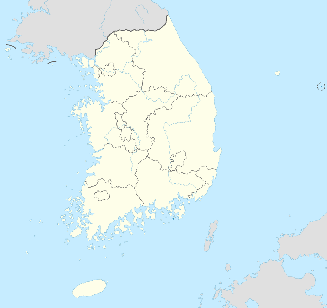 Daegwallyeong-myeon Location of Daegwallyeong-myeon in South Korea | |
| Coordinates: 37°40′00″N 128°42′00″E / 37.66667°N 128.70000°ECoordinates: 37°40′00″N 128°42′00″E / 37.66667°N 128.70000°E | |
| Country |
|
| Province | Gangwon-do |
| County | Pyeongchang |
| Administrative divisions | 21 ri |
| Area | |
| • Total | 221.6 km2 (85.6 sq mi) |
| Elevation | 750 m (2,460 ft) |
| Population (2008)[1] | |
| • Total | 6,162 |
| Time zone | UTC+9 (Korea Standard Time) |
Daegwallyeong-myeon (Hangul: 대관령면; Hanja: 大關嶺面) is a myeon (township) in the county of Pyeongchang in the province of Gangwon-do, South Korea. It is located in the northeastern part of the county. The total area of Daegwallyeong-myeon is 221.63 square kilometers,[2] and, as of 2008, the population was 6,162 people.[1] The myeon was named Doam-myeon (Hangul: 도암면; Hanja: 道岩面) until 2007. Daegwallyeong-myeon is named after the important mountain pass of Daegwallyeong. It has the coldest average temperature in South Korea.
Climate
| Climate data for Daegwallyeong, Pyeongchang (1981–2010, extremes 1971–present) | |||||||||||||
|---|---|---|---|---|---|---|---|---|---|---|---|---|---|
| Month | Jan | Feb | Mar | Apr | May | Jun | Jul | Aug | Sep | Oct | Nov | Dec | Year |
| Record high °C (°F) | 8.7 (47.7) |
16.5 (61.7) |
19.7 (67.5) |
30.1 (86.2) |
31.0 (87.8) |
32.3 (90.1) |
32.0 (89.6) |
32.7 (90.9) |
29.0 (84.2) |
24.7 (76.5) |
21.5 (70.7) |
13.5 (56.3) |
32.7 (90.9) |
| Average high °C (°F) | −2.5 (27.5) |
−0.4 (31.3) |
4.4 (39.9) |
12.9 (55.2) |
17.6 (63.7) |
20.5 (68.9) |
22.8 (73) |
22.8 (73) |
18.6 (65.5) |
14.0 (57.2) |
7.0 (44.6) |
0.5 (32.9) |
11.5 (52.7) |
| Daily mean °C (°F) | −7.7 (18.1) |
−5.5 (22.1) |
−0.5 (31.1) |
7.0 (44.6) |
11.9 (53.4) |
15.7 (60.3) |
19.1 (66.4) |
19.1 (66.4) |
14.1 (57.4) |
8.3 (46.9) |
1.9 (35.4) |
−4.4 (24.1) |
6.6 (43.9) |
| Average low °C (°F) | −12.6 (9.3) |
−10.5 (13.1) |
−5.2 (22.6) |
1.2 (34.2) |
6.3 (43.3) |
11.2 (52.2) |
16.0 (60.8) |
16.1 (61) |
10.0 (50) |
3.1 (37.6) |
−2.8 (27) |
−9.1 (15.6) |
2.0 (35.6) |
| Record low °C (°F) | −28.9 (−20) |
−27.6 (−17.7) |
−23.0 (−9.4) |
−14.6 (5.7) |
−4.7 (23.5) |
−1.7 (28.9) |
4.4 (39.9) |
3.3 (37.9) |
−2.3 (27.9) |
−9.9 (14.2) |
−18.7 (−1.7) |
−24.7 (−12.5) |
−28.9 (−20) |
| Average precipitation mm (inches) | 62.6 (2.465) |
53.6 (2.11) |
75.6 (2.976) |
89.5 (3.524) |
122.3 (4.815) |
201.0 (7.913) |
326.7 (12.862) |
420.9 (16.571) |
307.3 (12.098) |
124.9 (4.917) |
76.9 (3.028) |
36.8 (1.449) |
1,898 (74.724) |
| Average precipitation days (≥ 0.1 mm) | 10.5 | 10.5 | 11.3 | 9.5 | 11.1 | 13.2 | 17.6 | 17.8 | 13.0 | 8.7 | 10.1 | 9.4 | 142.7 |
| Average snowy days | 13.0 | 11.8 | 12.0 | 3.3 | 0.2 | 0.0 | 0.0 | 0.0 | 0.0 | 0.8 | 5.2 | 10.9 | 57.2 |
| Average relative humidity (%) | 67.3 | 67.0 | 67.5 | 61.0 | 68.4 | 79.2 | 85.7 | 87.0 | 84.6 | 75.2 | 69.9 | 67.3 | 73.3 |
| Mean monthly sunshine hours | 197.2 | 185.2 | 202.3 | 226.6 | 229.4 | 179.8 | 138.1 | 130.7 | 143.9 | 193.3 | 176.4 | 191.9 | 2,194.8 |
| Percent possible sunshine | 64.4 | 60.8 | 54.6 | 57.4 | 52.1 | 40.7 | 30.8 | 31.0 | 38.6 | 55.5 | 57.8 | 64.3 | 49.3 |
| Source: Korea Meteorological Administration[3][4][5] (percent sunshine and snowy days)[6] | |||||||||||||
Attractions
- Yongpyong Ski Resort: largest ski resort in South Korea, venue of 2018 Winter Olympics[7]
- Alpensia Resort: main venue of 2018 Winter Olympics
- Daegwallyeong Sheep Farm
- Pyeongchang Olympic Stadium: venue for the opening and closing ceremonies of the 2018 Winter Olympics.
References
- 1 2 Households and Population by Eup, Myeon and Dong (Resident Registration)
- ↑ 평창군 [대관령면] 홈페이지 방문을 환영합니다.
- ↑ "평년값자료(1981–2010), 대관령(100)" (in Korean). Korea Meteorological Administration. Retrieved 7 December 2016.
- ↑ "기후자료 극값(최대값) 전체년도 일최고기온 (℃) 최고순위, 대관령(100)" (in Korean). Korea Meteorological Administration. Retrieved 7 December 2016.
- ↑ "기후자료 극값(최대값) 전체년도 일최저기온 (℃) 최고순위, 대관령(100)" (in Korean). Korea Meteorological Administration. Retrieved 7 December 2016.
- ↑ "Climatological Normals of Korea" (PDF). Korea Meteorological Administration. 2011. p. 499 and 649. Archived from the original (PDF) on 7 December 2016. Retrieved 7 December 2016.
- ↑ Yoon, Chul (27 December 2011). "7 best ski and snowboard resorts in Korea". CNN Go. Archived from the original on 2012-05-11. Retrieved 3 June 2012.
External links
This article is issued from
Wikipedia.
The text is licensed under Creative Commons - Attribution - Sharealike.
Additional terms may apply for the media files.