Dáka
| Dáka | ||
|---|---|---|
| ||
 Dáka Location of Dáka in Hungary | ||
| Coordinates: 47°17′16″N 17°25′41″E / 47.28775°N 17.42816°E | ||
| Country | Hungary | |
| Region | Central Transdanubia | |
| County | Veszprém | |
| Subregion | Pápai | |
| Rank | Village | |
| Area[1] | ||
| • Total | 25.40 km2 (9.81 sq mi) | |
| Population (1 January 2008)[2] | ||
| • Total | 648 | |
| • Density | 26/km2 (66/sq mi) | |
| Time zone | UTC+1 (CET) | |
| • Summer (DST) | UTC+2 (CEST) | |
| Postal code | 8592 | |
| Area code | +36 89 | |
| KSH code | 20154[3] | |

Dáka is a village in Veszprém county, Hungary.
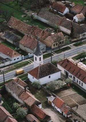
Aerialphotography of Dáka
References
- ↑ Dáka at the Hungarian Central Statistical Office (Hungarian).
- ↑ Dáka at the Hungarian Central Statistical Office (Hungarian). 1 January 2008
- ↑ Dáka at the Hungarian Central Statistical Office (Hungarian).
External links
This article is issued from
Wikipedia.
The text is licensed under Creative Commons - Attribution - Sharealike.
Additional terms may apply for the media files.