Czantoria Wielka
| Czantoria Wielka | |
|---|---|
| Velká Čantoryje | |
 Mountain viewed from the south | |
| Highest point | |
| Elevation | 995 m (3,264 ft) |
| Prominence | 311 m (1,020 ft) |
| Coordinates | 49°40′43.695″N 18°48′16.954″E / 49.67880417°N 18.80470944°ECoordinates: 49°40′43.695″N 18°48′16.954″E / 49.67880417°N 18.80470944°E |
| Geography | |
 Czantoria Wielka Location in Silesian Voivodeship, on the border with Czech Republic 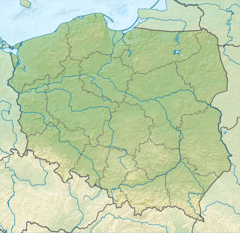 Czantoria Wielka Czantoria Wielka (Poland) | |
| Location | Poland–Czech Republic border |
| Parent range | Silesian Beskids |
| Climbing | |
| Easiest route | Hike |
![]()
It is distinct for its steep slopes in the east and the west. Mostly coniferous trees grow on its slopes. It is the largest peak of the Czech part of the Silesian Beskids. There is a 29 m-high lookout tower on the mountain[2] and mountain hut on the Czech side of the mountain.
The mountain hut was constructed in 1904 by the German tourist association Beskidenverein, and was named Erzherzogin Isabella Schutzhaus in honor of Archduchess Isabella of Austria.[3] In 1920 the new border between the states of Poland and Czechoslovakia was established running across the mountain (thus creating Zaolzie region). After World War II and expropriation of German property, the hut was nationalized by the Czechoslovak government. A smaller mountain hut was built on the Polish side in 1962.
In 1965-1967 a chairlift was constructed on the Polish side, it has been renovated several times since. Reaching the mountain via chairlift takes roughly 6 minutes.[3] The mountain can be hiked from both sides of the border, though the Polish side offers easier access to the summit from Ustroń. The Knight's hiking trail from the Czech side runs through the village of Nýdek (Nydek).
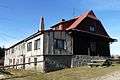 Mountain hut
.JPG) Observation tower
Observation tower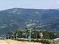 Czantoria chairlift
.JPG) Knights' hiking trail
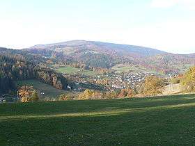
Knights' hiking trail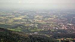 A big part of Cieszyn Silesia seen from the mountain
References
- ↑ "Čantoria National Nature Reserve". Retrieved 2015-01-06.
- ↑ "Website of the lookout tower". Archived from the original on 2010-09-28. Retrieved 2015-01-04.
- 1 2 Cicha, Irena (2007). Beskidzkie gronie nad Olzą i Wisłą. Czeski Cieszyn: Vydavatelství Regio. pp. 191, 197. ISBN 978-80-254-0261-0.
External links
