Culburnie, Highland
Culburnie
| |
|---|---|
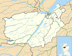 Culburnie Culburnie shown within the Inverness area | |
| OS grid reference | NH486414 |
| Council area | |
| Country | Scotland |
| Sovereign state | United Kingdom |
| Post town | Kiltarlity |
| Postcode district | IV4 7 |
| Police | Scottish |
| Fire | Scottish |
| Ambulance | Scottish |
| EU Parliament | Scotland |
Culburnie (Scottish Gaelic: Cùil Braonaigh, Scots: Chainry) is a scattered hamlet in Kiltarlity, located about 2 km west of the main part of Kiltarlity village, and about 20 km west of Inverness,[1][2] in the Highland council area of Scotland.
The name may come from the Gaelic for "at the back of the damp place".[3]
Culburnie used to have a primary school, but it has been closed for a number of years. Pupils now travel to the primary school at Tomnacross, or to secondary school at Charleston Academy in Inverness.
The Culburnie Burn (also known as the Teanacoil Burn) passes through the area, before flowing into the Bruiach Burn, which flows into the River Beauly.
References
- ↑ "Culburnie". The Gazetteer for Scotland. School of GeoSciences, University of Edinburgh and The Royal Scottish Geographical Society. Retrieved 17 June 2018.
- ↑ Microsoft; Nokia (26 February 2017). "Culburnie" (Map). Bing Maps. Microsoft. Retrieved 26 February 2017.
- ↑ Beauly, The Aird and Strathglass Place-Name Survey (North-East Inverness-shire)
This article is issued from
Wikipedia.
The text is licensed under Creative Commons - Attribution - Sharealike.
Additional terms may apply for the media files.