Cree River (Saskatchewan)
| Cree River | |
| Country | Canada |
|---|---|
| State | Saskatchewan |
| Part of | Mackenzie River drainage basin |
| Source | Cree Lake |
| - elevation | 487 m (1,598 ft) |
| - coordinates | 57°43′11.5″N 106°17′15″W / 57.719861°N 106.28750°W |
| Mouth | Black Lake |
| - elevation | 281 m (922 ft) |
| - coordinates | 58°57′1″N 105°47′3″W / 58.95028°N 105.78417°WCoordinates: 58°57′1″N 105°47′3″W / 58.95028°N 105.78417°W |
| Length | 150 km (93 mi) |
| Basin | 20,700 km2 (7,992 sq mi) |
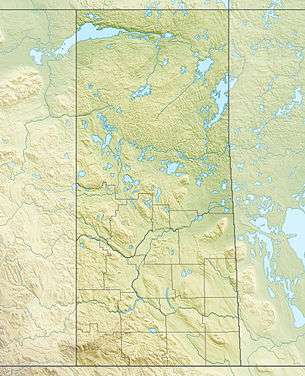 Location of the mouth of the Cree River | |
| [1][2] | |
The Cree River is a river in northern Saskatchewan located in the Athabasca Basin of the Canadian Shield. The river flows north from Cree Lake to Black Lake. The river is part of the Mackenzie River drainage basin.
The river is bridged near its mouth south of Black Lake by Highway 905
Tributaries
- Pipestone River flows in from the left at 58°38′1″N 105°45′3″W / 58.63361°N 105.75083°W.[3]
- Timson River (left).
- Little Cree River (right)
- Rapid River (Cree River)
See also
References
- ↑ "Natural Resources Canada-Canadian Geographical Names (Cree River)". Retrieved 2014-08-29.
- ↑ "Atlas of Canada Toporama". Retrieved 2014-08-29.
- ↑ "Natural Resources Canada-Canadian Geographical Names (Pipestone River)". Retrieved 2014-08-29.
External links
This article is issued from
Wikipedia.
The text is licensed under Creative Commons - Attribution - Sharealike.
Additional terms may apply for the media files.