Cream Can Junction, Idaho
| Cream Can Junction | |
|---|---|
| Unincorporated community | |
 Cream Can Junction Location within the state of Idaho | |
| Coordinates: 42°56′19″N 113°23′8″W / 42.93861°N 113.38556°WCoordinates: 42°56′19″N 113°23′8″W / 42.93861°N 113.38556°W | |
| Country | United States |
| State | Idaho |
| County | Blaine |
| Elevation | 4,642 ft (1,415 m) |
| Time zone | UTC-7 (Mountain) |
| • Summer (DST) | UTC-6 |
| GNIS feature ID | 376146[1] |
Cream Can Junction is an unincorporated community located in Blaine County, Idaho, United States. It is located along Minidoka to Arco Road.
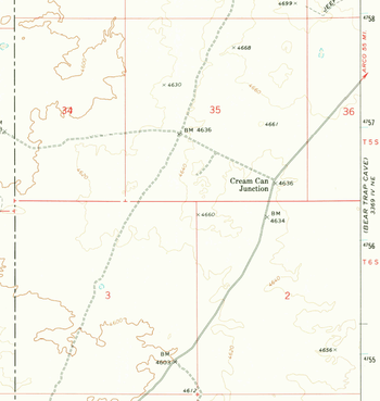
Detail of 1972 USGS map, Brigham Point Quadrangle, showing the location of Cream Can Junction, Idaho
References
Municipalities and communities of Blaine County, Idaho, United States | ||
|---|---|---|
| Cities | ||
| Unincorporated communities | ||
This article is issued from
Wikipedia.
The text is licensed under Creative Commons - Attribution - Sharealike.
Additional terms may apply for the media files.