Craven Gap
| Craven Gap | |
|---|---|
 Craven Gap, along the Blue Ridge Parkway | |
| Elevation | 3,132 ft (955 m)[1] |
| Traversed by |
|
| Location |
|
| Range | Great Craggy Mountains |
| Coordinates | 35°38′52″N 82°29′27″W / 35.6478906°N 82.4909588°WCoordinates: 35°38′52″N 82°29′27″W / 35.6478906°N 82.4909588°W |
| Topo map | USGS Craggy Pinnacle |
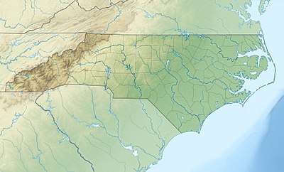 The pass is located in Buncombe County | |
Craven Gap (el. 3,132 ft (955 m)) is a mountain pass between Peach Knob and Rice Knob, part of the Elk Mountains and Great Craggy Mountains. NC 694 (Town Mountain Road) connects with the Blue Ridge Parkway at the gap, where it provides direct access to downtown Asheville. The gap also has trails for hikers and is a popular bicycle rest area.[2]
References
- ↑ "Craven Gap". Geographic Names Information System. United States Geological Survey. Retrieved July 19, 2014.
- ↑ "Asheville Natural Trails Page". Retrieved July 19, 2014.
This article is issued from
Wikipedia.
The text is licensed under Creative Commons - Attribution - Sharealike.
Additional terms may apply for the media files.