Craigie, Victoria
| Craigie Victoria | |
|---|---|
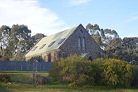 A former church in Craigie, now converted into a residence, 2017 | |
 Craigie | |
| Coordinates | 37°09′40″S 143°44′52″E / 37.16111°S 143.74778°ECoordinates: 37°09′40″S 143°44′52″E / 37.16111°S 143.74778°E |
| Population | 57 (2016 census)[1] |
| Postcode(s) | 3468 |
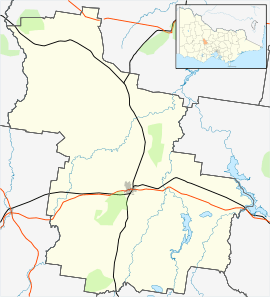
| Location |
|
| LGA(s) | Shire of Central Goldfields |
| State electorate(s) | Ripon |
| Federal Division(s) | Wannon |
Craigie is a locality in central Victoria, Australia. The locality is in the Shire of Central Goldfields, 164 kilometres (102 mi) north west of the state capital, Melbourne.
At the 2016 census, Craigie had a population of 57.[1]
References
- 1 2 Australian Bureau of Statistics (27 June 2017). "Craigie". 2016 Census QuickStats. Retrieved 27 August 2017.

External links
![]()
This article is issued from
Wikipedia.
The text is licensed under Creative Commons - Attribution - Sharealike.
Additional terms may apply for the media files.