Corlier Aerodrome
| Corlier Aerodrome Aérodrome de Corlier Altiport de Corlier | |||||||||||
|---|---|---|---|---|---|---|---|---|---|---|---|
| Summary | |||||||||||
| Airport type | Public | ||||||||||
| Serves | Corlier, France | ||||||||||
| Elevation AMSL | 2,762 ft / 842 m | ||||||||||
| Coordinates | 46°02′23″N 005°29′48″E / 46.03972°N 5.49667°ECoordinates: 46°02′23″N 005°29′48″E / 46.03972°N 5.49667°E | ||||||||||
| Map | |||||||||||
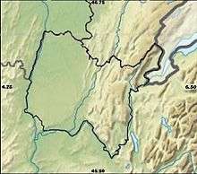 LFJD Location of airport in Ain department Location of Ain department in France 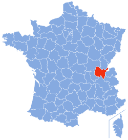 | |||||||||||
| Runways | |||||||||||
| |||||||||||
Corlier Aerodrome (French: Aérodrome de Corlier) (ICAO: LFJD) is an altiport located 1.1 km (0.6 NM) north-northwest of Corlier [1] a commune in the Ain department of the Auvergne-Rhône-Alpes region in eastern France.
Facilities
The airport resides at an elevation of 2,762 feet (842 m) above mean sea level . It has a grass runway which is 350 metres (1,148 ft) in length.[2]
References
- 1 2 LFJD – CORLIER. AIP from French Service d'information aéronautique, effective 11 October 2018.
- 1 2 Airport information for Corlier, France (LFJD) at Great Circle Mapper. Source: AIP France.
This article is issued from
Wikipedia.
The text is licensed under Creative Commons - Attribution - Sharealike.
Additional terms may apply for the media files.