Cooks Station


Cooks or Cook's Station, elevation 5,000 feet (1,500 m), is a roadside stop on State Route 88 in Amador County in the Sierra Nevada mountains.
Built in 1863 as part of the Volcano cutoff of the Carson Emigrant Trail, Cooks Station is one of two remaining "stations" on the highway among many that sprang up after the road was completed over the Carson Pass in the 1860s. The other remaining station is Ham's Station, located 3.3 miles (5.3 km) east at 6,000 feet (1,800 m) elevation.
Both stations are routinely used by the California Department of Transportation (CALTRANS) to indicate points where snow chains are required for continued travel during snowstorms. Current conditions and requirements are posted at the CALTRANS road information website.[1]
References
External links
Municipalities and communities of Amador County, California, United States | ||
|---|---|---|
| Cities | 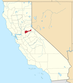 | |
| CDPs | ||
| Unincorporated communities | ||
| Ghost towns |
| |
| Footnotes | ‡This CDP also has portions in an adjacent county or counties | |