Constantia Kloof
| Constantia Kloof | |
|---|---|
 Constantia Kloof | |
|
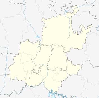
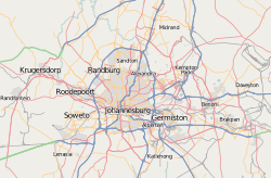
Location within Greater Johannesburg  Constantia Kloof  Constantia Kloof Constantia Kloof (South Africa)  Constantia Kloof Constantia Kloof (Africa) | |
| Coordinates: 26°8′43″S 27°54′42″E / 26.14528°S 27.91167°ECoordinates: 26°8′43″S 27°54′42″E / 26.14528°S 27.91167°E | |
| Country | South Africa |
| Province | Gauteng |
| Municipality | City of Johannesburg |
| Main Place | Roodepoort |
| Area[1] | |
| • Total | 3.19 km2 (1.23 sq mi) |
| Population (2011)[1] | |
| • Total | 4,940 |
| • Density | 1,500/km2 (4,000/sq mi) |
| Racial makeup (2011)[1] | |
| • Black African | 19.8% |
| • Coloured | 9.7% |
| • Indian/Asian | 6.3% |
| • White | 63.0% |
| • Other | 1.3% |
| First languages (2011)[1] | |
| • English | 48.6% |
| • Afrikaans | 35.4% |
| • Zulu | 3.2% |
| • Tswana | 3.0% |
| • Other | 9.7% |
| Time zone | UTC+2 (SAST) |
| Postal code (street) | 1709 |
| PO box | 1715 |
Constantia Kloof is a suburb of Johannesburg, South Africa. It borders the suburbs of Strubens Valley, Weltevreden Park, Helderkruin and Allen's Nek, and is considered one of the more scenic and upmarket suburbs in the West Rand, especially within its boom-controlled area. Some of the best views over Johannesburg can be seen from the Constantia Kloof houses and apartments along Constantia Drive and Panorama Road. The area has become very popular since the opening of the Clearwater shopping mall and the Silverstar Casino in the area.
References
- 1 2 3 4 "Sub Place Constantia Kloof". Census 2011.
This article is issued from
Wikipedia.
The text is licensed under Creative Commons - Attribution - Sharealike.
Additional terms may apply for the media files.