Conception Harbour
| Conception Harbour | |
|---|---|
| Town | |
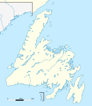 Conception Harbour Location of Conception Harbour in Newfoundland | |
| Coordinates: 47°26′N 53°13′W / 47.433°N 53.217°W | |
| Country |
|
| Province |
|
| Census division | 1 |
| Government | |
| Area | |
| • Land | 21.62 km2 (8.35 sq mi) |
| Population (2016) | |
| • Total | 685 |
| • Density | 31.7/km2 (82/sq mi) |
| • Demonym | Conception Harbourite |
| Time zone | UTC-3:30 (Newfoundland Time) |
| • Summer (DST) | UTC-2:30 (Newfoundland Daylight) |
| Area code(s) | 709 |
Conception Harbour is a town on the Avalon Peninsula in Newfoundland and Labrador, Canada. It is in Division 1 on Conception Bay.
According to the 2001 Statistics Canada Census:
- Population: 801
- % Change (1996-2001): -9.8
- Dwellings: 353
- Area (km².): 21.62
- Density (persons per km².): 37
See also
References
Places adjacent to Conception Harbour | ||||||||||
|---|---|---|---|---|---|---|---|---|---|---|
| ||||||||||
Coordinates: 47°26′00″N 53°13′00″W / 47.43333°N 53.21667°W

This article is issued from
Wikipedia.
The text is licensed under Creative Commons - Attribution - Sharealike.
Additional terms may apply for the media files.