Command Ridge
| Command Ridge | |
|---|---|
 Command Ridge Nauru | |
| Highest point | |
| Elevation | 65 m (213 ft) [1] |
| Prominence | 65 m (213 ft) [1] |
| Listing | Country high point |
| Coordinates | 00°31′49″S 166°55′00″E / 0.53028°S 166.91667°ECoordinates: 00°31′49″S 166°55′00″E / 0.53028°S 166.91667°E |
| Geography | |
| Location | Aiwo District, Nauru |
| Geology | |
| Mountain type | Hill (Limestone) |
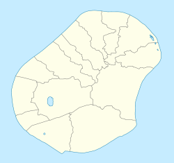
Command Ridge (Nauruan: Janor) is the highest point of Nauru, with an elevation of 65 metres (213 ft).
Passing close to Command Ridge is the boundary between Aiwo and Buada districts.

Japanese relic from World War II on Command Ridge.
See also
References
- 1 2 "Nauru High Point" on Peakbagger Retrieved 24 September 2011
External links
- (in English) Adventure Details: Command Ridge, Topoworld.com.
This article is issued from
Wikipedia.
The text is licensed under Creative Commons - Attribution - Sharealike.
Additional terms may apply for the media files.